
-
DateSaturday November 25, 2017 at 9:00am AEST
past event -
TypeRaceXC
-
ActivitiesMountain Bike
-
LocationBom Bom State Forest Australia
-
AKADemolish - Clarence Valley
-
Website
-
Facebook
-
RegistrationOpen Paid
-
Organizer

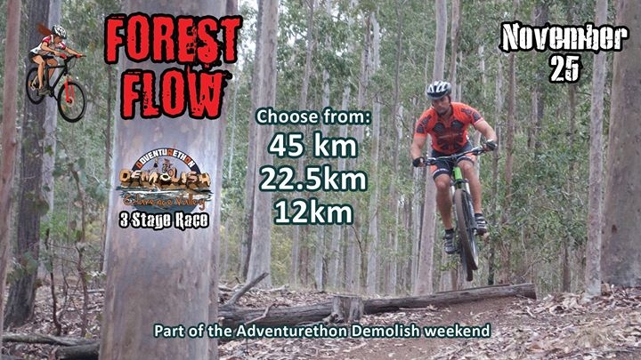
If you are looking for a challenging, yet visually spectacular mountain bike course, this one is for you. With many kilometres of well-built single-track winding its way through the Bom Bom State Forest, Grafton NSW, sections of really unique riding, along with some exciting dirt jumps – this mountain bike course is just heaps of fun.
Skilled riders will find they are able to navigate the course faster and can take A line options for extra fun and some race specific benefit. Beginners can feel confident in that there are B line options for many of the features. We will be bringing in a few temporary features to beef up the A lines for the race weekend.
Competitors will be available to pre-ride the course the day before the event.
There are options to suit your preferences with Ultra (40-50km), Enduro (20-25km) and Taste/Junior (10km), so be sure to bring the whole family and make a weekend of it.
As part of the Adventurethon Demolish - Clarence Valley, NSW Weekend, there are options to add paddling and trail running to your weekend.
Only 300km south of Brisbane, so a perfect weekend trip.
Camping is available at a very low cost so you can make a whole weekend out of it.
More info or register at https://adventurethon.com.au/events/clarence-valley/stage-1/
Comments
-
- Download
- Subscribe
-
148interested
-
24going
- Unknown
- Snow Groomed
- Snow Packed
- Snow Covered
- Snow Cover Partial
- Freeze/thaw Cycle
- Icy
- Prevalent Mud
- Wet
- Variable
- Ideal
- Dry
- Very Dry
The colour categories are based on what percentage of users are riding a trail in its intended direction.
- > 96%
- > 90%
- > 80%
- > 70%
- > 50%
- < 50%
- bi-directional trail
- no data
- < 2 days
- < 1 week
- < 2 weeks
- < 1 month
- < 6 months
- > 6 months
- Downhill Only
- Downhill Primary
- Both Directions
- Uphill Primary
- Uphill Only
- One Direction
- Description
- Photos
- Description & Photos
- Videos
- most popular
- popular
- less popular
- not popular

Service Road Atlas is a free to use, community-driven service for viewing and creating reports on the numerous back-country service roads around B.C. and Alberta.

Save the current map location and zoom level as your default home location whenever this page is loaded.
Save
