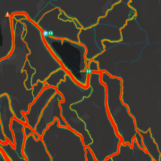
The Trailforks heatmap shows users ride data around the world.
Trailforks makes great effort to filter out sensitive or illegal areas. Our heatmap also trys to filter out road biking. Interactive trails are visible under the heatmap, making it easy to identify the trail in a hot spot.
Only public ridelogs are shown, additionally if a ridelog at any point matches a "hidden" trail in the Trailforks database, it will not be included in the heatmap. The idea is to add unsanctioned/secret/illegal trails to Trailforks, but set them as "hidden", to help blackout those areas on the heatmap. Additionally entire areas can be blocked out via a polygon of a "hidden region".
We also process ridelog data to create our own "popularity heatmap" available throughout the site.
Upgrade to Trailforks Pro to unlock global heatmaps!
Heatmap
Trailforks heatmaps provide in-depth analysis of trail usage patterns. Gain valuable insights into trail popularity, user activity, & more.