
-
DateSunday October 5, 2025 at
8:00am to 3:00pm EDT
past event -
TypeFestivalXC
-
ActivitiesMountain Bike
-
Location
-
Email
-
Website
-
RegistrationOpen Paid
-
Organizer
-
Series
Come for the rides, stay for the vibes We will have self-guided and expert-led rides, music, food, and more...
Overview
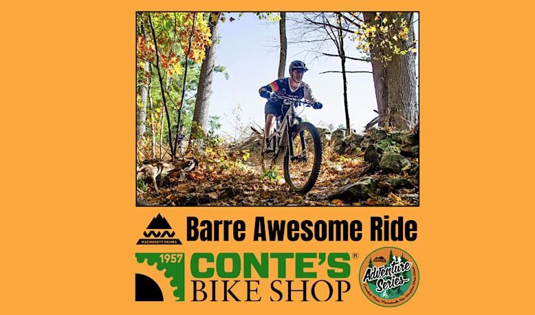
The Barre Awesome Ride Returns!
Sign up now for awesome arrowed loops on what is fast becoming a marquee Central M trail network. Event includes bike demos, food, beer and music! Last year this ride was just short of selling out to capacity and this year it is likely to sell out.
The Adventure Series is grateful for the generous support from our sponsor Conte's Bike Shop!
Schedule
8:00 AM - 3:00 PM
Details coming soon
Event Cap:
250 total. Volunteer registration capped at 25.
What to Expect
Beginner, Intermediate, and Advanced Guided Rides
Kids Events and guided rides
Demo Products
Local brewery Vendors
Local Food Vendors
Self Guided Marked Loops
T-Shirts
Pick up any pre-purchased Adventure Series t-shirts, or purchase an Adventure Series t-shirt at the NEMBA tent on site.
Parking:
Parking is available at425 Oakham Road, Barre, MA, 01005
The Story of the Barre Awesome Trails
The Barre (rhymes with “very”) trails are a huge success story: shut out of trails on state lands, mountain bikers approached local private landowners and the town for permission to build and ride singletrack.
The result is over 25 miles (and counting!) of trail across a dozen landowners, and it’ll all be open for this event. We will be celebrating the landowners and volunteers who made it possible and opening it all up for you with local businesses helping make the event a success.
Be aware that these trails have a fair amount of challenge, we will do our best to lay out beginner/intermediate-friendly options but there will be rocks, roots, and wall crossings like most places in the hills of Central Mass. A-lines will have bypasses where possible. Don’t be alarmed, we just want to be up front.
About the NEMBA Adventure Series
The NEMBA Adventure Series is a season long series of flagship events hosted by local chapters in their respective communities. As part of NEMBA's mission to create epic riding experiences, our Adventure Series takes you on a trip throughout the region to explore some of the best trails and communities in New England.
Thank you to our friends and supporters!
Comments
-
- Signup Link
- Download
- Subscribe
-
3interested
-
2going
-
Layers w
- Weather Layers
- Pro
- Pro
- Pro
- Pro
- Pro
- Pro
- More Layers
- Pro
- Pro
- Pro
- Pro
-
Upgrade to

- Unknown
- Snow Groomed
- Snow Packed
- Snow Covered
- Snow Cover Partial
- Freeze/thaw Cycle
- Icy
- Prevalent Mud
- Wet
- Variable
- Ideal
- Dry
- Very Dry
The colour categories are based on what percentage of riders are riding a trail in its intended direction.
- > 96%
- > 90%
- > 80%
- > 70%
- > 50%
- < 50%
- bi-directional trail
- no data
- < 2 days
- < 1 week
- < 2 weeks
- < 1 month
- < 6 months
- > 6 months
- Downhill Only
- Downhill Primary
- Both Directions
- Uphill Primary
- Uphill Only
- One Direction
- Description
- Photos
- Description & Photos
- Videos
- most popular
- popular
- less popular
- not popular

Service Road Atlas is a free to use, community-driven service for viewing and creating reports on the numerous back-country service roads around B.C. and Alberta.

Save the current map location and zoom level as your default home location whenever this page is loaded.
Save
 Stratton Race Day XCM
 Quiet Corner Bike Tour - Presented by the...
 George Street Bike Challenge for Major Taylor