
-
DateTuesday February 6, 2018 at 4:00pm MST
past event -
TypeRaceFatbike
-
ActivitiesMountain Bike
-
Location
-
Website
-
Facebook
-
RegistrationOpen Paid
-
Series

*Official details and schedule are still in the works and will be updated here once available.
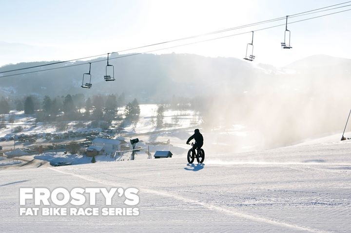
Even though we will be running under the lights at Sundance Mountain Resort a handlebar or helmet mounted headlight will still be required for each participant.
4pm Registration opens
5pm Test runs begin
6pm Race Start
6:30pm Awards podium
Register early for best pricing. Refer 3 people to register and get a rebate on your registration.
If you're interested in participating in multiple Frosty events in 2018 use this link for a discount on 3+ race event entries: https://endurancecui.active.com/new/eventseries/11553/select-race?_p=5727202354096379
Comments
-
- Download
- Subscribe
-
121interested
-
27going
-
Layers w
- Weather Layers
- Pro
- Pro
- Pro
- Pro
- Pro
- Pro
- More Layers
- Pro
- Pro
- Pro
- Pro
-
Upgrade to

- Unknown
- Snow Groomed
- Snow Packed
- Snow Covered
- Snow Cover Partial
- Freeze/thaw Cycle
- Icy
- Prevalent Mud
- Wet
- Variable
- Ideal
- Dry
- Very Dry
The colour categories are based on what percentage of users are riding a trail in its intended direction.
- > 96%
- > 90%
- > 80%
- > 70%
- > 50%
- < 50%
- bi-directional trail
- no data
- < 2 days
- < 1 week
- < 2 weeks
- < 1 month
- < 6 months
- > 6 months
- Downhill Only
- Downhill Primary
- Both Directions
- Uphill Primary
- Uphill Only
- One Direction
- Description
- Photos
- Description & Photos
- Videos
- most popular
- popular
- less popular
- not popular

Service Road Atlas is a free to use, community-driven service for viewing and creating reports on the numerous back-country service roads around B.C. and Alberta.

Save the current map location and zoom level as your default home location whenever this page is loaded.
Save
 2026 Mid Week MTB Series Mini Enduro #5
 2026 Mid Week MTB Series XC#6
 2026 Mid Week MTB Series Mini Enduro #6