
-
DateSunday July 19, 2026toSunday July 19, 2026
past event -
TypeRaceEnduro
-
ActivitiesMountain Bike E-Bike
-
LocationHidden Valley Canada
-
Email
-
Website
-
RegistrationOpen Paid
-
Organizer

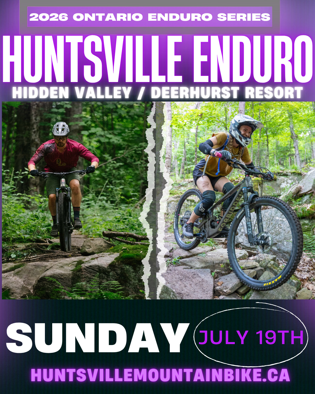
Welcome to the Huntsville Enduro // Ontario Enduro Series Race
Register: https://zone4.ca/register.asp?id=41505
Huntsville, Ontario, Canada
Sunday July 19th, 2026
Location: Hidden Valley Highlands Ski Area / Deerhurst Resort - Race will start from 1655 Hidden Valley Rd, Huntsville, ON P1H 1A4
Tentative Routes:
***This is a challenging course, there are unavoidable steep and rocky technical sections, a pre-ride and protective gear is strongly recommended*** Full face helmet, knee pads, neck/back protection, elbow pads, etc strongly recommended*** Helmets mandatory.
Main Course: 22km total distance - 800m total elevation to climb
Short Course: 11km total distance - 400m total elevation to climb (Short course does not count towards the Ontario Enduro Series overall standings)
Course will be marked Saturday July 18th for pre riding
Possible Timed Stages: HV Blue, Zoro, Extra Credit, No Mans Land, Colourblind, The Tub, Back Trail. Short course will be one lap of each stage, long course will repeat all stages. (Zoro/Hilary Step Pro Line excluded from course)
*Tentative* Schedule:
7:30am: Volunteers arrive
8:15am - 9:15am: registration / pick up time chip
Long Course Start staggered: 9:00am - 9:45am
Short Course Start: 10am
3:00pm - Cut off time to be in line for final stage
3:30pm Cut off to finish course
3:45 - 4pm - Awards
For more info and updates please follow us on instagram @huntsvillemountainbike
Support Huntsville Mountain Bike Association with a membership
huntsvillemountainbike.ca/membership/
Comments
-
- Signup Link
- Download
- Subscribe
-
0interested
-
0going
-
Layers w
- Weather Layers
- Pro
- Pro
- Pro
- Pro
- Pro
- Pro
- More Layers
- Pro
- Pro
- Pro
- Pro
-
Upgrade to

- Unknown
- Snow Groomed
- Snow Packed
- Snow Covered
- Snow Cover Partial
- Freeze/thaw Cycle
- Icy
- Prevalent Mud
- Wet
- Variable
- Ideal
- Dry
- Very Dry
The colour categories are based on what percentage of users are riding a trail in its intended direction.
- > 96%
- > 90%
- > 80%
- > 70%
- > 50%
- < 50%
- bi-directional trail
- no data
- < 2 days
- < 1 week
- < 2 weeks
- < 1 month
- < 6 months
- > 6 months
- Downhill Only
- Downhill Primary
- Both Directions
- Uphill Primary
- Uphill Only
- One Direction
- Description
- Photos
- Description & Photos
- Videos
- most popular
- popular
- less popular
- not popular

Service Road Atlas is a free to use, community-driven service for viewing and creating reports on the numerous back-country service roads around B.C. and Alberta.

Save the current map location and zoom level as your default home location whenever this page is loaded.
Save