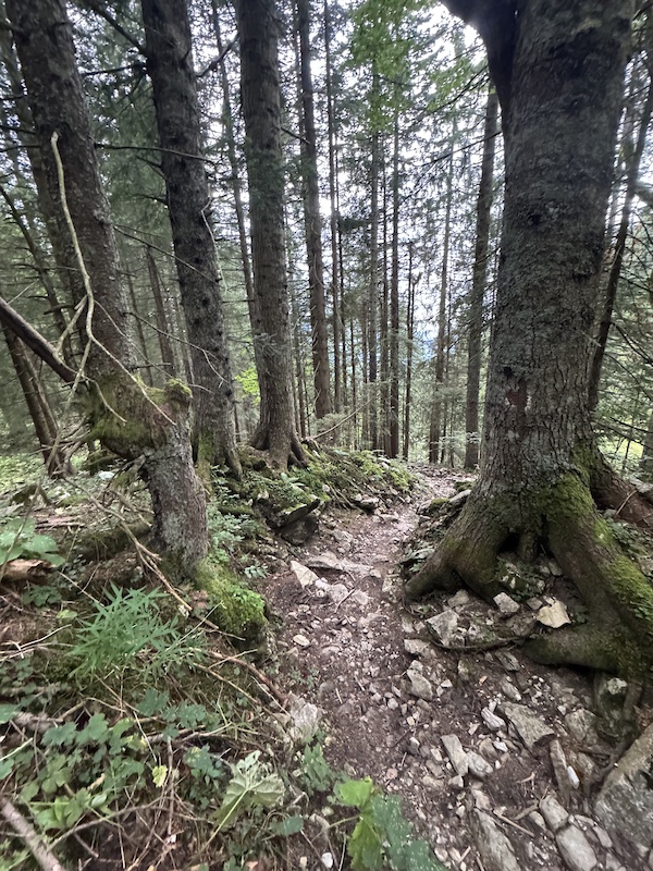
- Trail:
- Mariaeck (Bad Tölz/ Lenggries/ Sylvenstein Area)
- Status:
- All Clear / Green
-
Issue status:
- Condition:
- Variable - some wet spots, or some dusty spots but overall good conditions
- Reporter Primary Activity:
- Mountain Bike
Description:
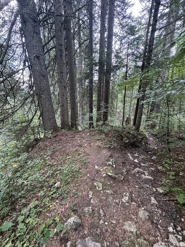
Hark! ’Tis told this day that a valiant knight,
Of noble house Trail Groomer, did mount his steed,
And ride forth up the path of Maria Eck,
To clear the way of rubble, stone, and weed.
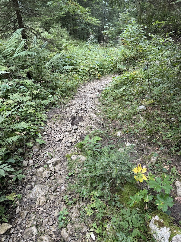
From meadow’s first embrace, past monument’s proud stand,
Down to the crossroads’ meet, his labor did expand.
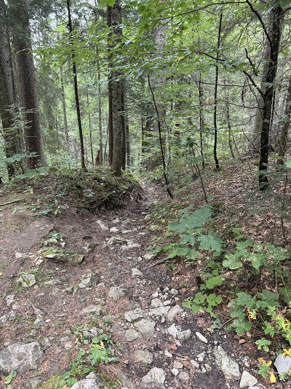
Yet whispers tell the lower stretch doth cry for care,
Especially the last quarter, foul with stones most bare.
Aye, there did lurk a ragged, stony throng,
Which from the path he cast with might and song!
Two footmen, horseless, did their thanks bestow,
And marched henceforth with smiles, their hearts aglow.
O, joy! To see this knight, so bold, so true,
Descend the path upon his steed anew!
---
Yet mark thee well, and heed this warning true:
Beware, I pray thee, stray not from the trodden way,
For marked are those paths where danger doth hold sway.
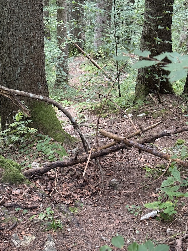
Within the thicket lurks a band most fell,
The misbegotten kin of Robin Hood—Lenggries’ knaves, they tell.
No good intent doth guide their wicked hand,
But only to forbid thee passage through the land.
Take heed, take heed! And keep thee to the path well-worn,
Lest thou shouldst rue the day thou didst from safety sworn!
Auf boarisch, bleibts am Weg! ZEFIX
Erster Teil nach der Wiese bis zu dem ersten Forstweg von den größten Lockeren Steinen befreit
Der dann folgende zweite Teil bräuchte noch Aufmerksamkeit, besonders das letzt viertel vor dem Bach. Da sieht’s aus als hätte ein Troll unfreiwillig das Tageslicht erblickt und ist zu einem findlingshaufen zerfallen
Of noble house Trail Groomer, did mount his steed,
And ride forth up the path of Maria Eck,
To clear the way of rubble, stone, and weed.
From meadow’s first embrace, past monument’s proud stand,
Down to the crossroads’ meet, his labor did expand.
Yet whispers tell the lower stretch doth cry for care,
Especially the last quarter, foul with stones most bare.
Aye, there did lurk a ragged, stony throng,
Which from the path he cast with might and song!
Two footmen, horseless, did their thanks bestow,
And marched henceforth with smiles, their hearts aglow.
O, joy! To see this knight, so bold, so true,
Descend the path upon his steed anew!
---
Yet mark thee well, and heed this warning true:
Beware, I pray thee, stray not from the trodden way,
For marked are those paths where danger doth hold sway.
Within the thicket lurks a band most fell,
The misbegotten kin of Robin Hood—Lenggries’ knaves, they tell.
No good intent doth guide their wicked hand,
But only to forbid thee passage through the land.
Take heed, take heed! And keep thee to the path well-worn,
Lest thou shouldst rue the day thou didst from safety sworn!
Auf boarisch, bleibts am Weg! ZEFIX
Erster Teil nach der Wiese bis zu dem ersten Forstweg von den größten Lockeren Steinen befreit
Der dann folgende zweite Teil bräuchte noch Aufmerksamkeit, besonders das letzt viertel vor dem Bach. Da sieht’s aus als hätte ein Troll unfreiwillig das Tageslicht erblickt und ist zu einem findlingshaufen zerfallen
- Work Report:
- trail work done
- 1 volunteer attendees
- 2 volunteer hours
- 1 total workers
- 2.0 total work hours
Individual Workers:
close
-
Layers w
- Weather Layers
- Pro
- Pro
- Pro
- Pro
- Pro
- Pro
- More Layers
- Pro
- Pro
- Pro
- Pro
-
Upgrade to

3D
Trail Conditions
- Unknown
- Snow Groomed
- Snow Packed
- Snow Covered
- Snow Cover Partial
- Freeze/thaw Cycle
- Icy
- Prevalent Mud
- Wet
- Variable
- Ideal
- Dry
- Very Dry
Trail Flow (Ridden Direction)
Trailforks scans users activity logs to determine the most popular direction each trail is ridden. A good flowing trail network will have most trails flowing in a single direction according to their intension.
The colour categories are based on what percentage of users are riding a trail in its intended direction.
The colour categories are based on what percentage of users are riding a trail in its intended direction.
- > 96%
- > 90%
- > 80%
- > 70%
- > 50%
- < 50%
- bi-directional trail
- no data
Trail Last Used
Trailforks scans activity logs to determine the last time a trail was ridden.
- < 2 days
- < 1 week
- < 2 weeks
- < 1 month
- < 6 months
- > 6 months
Trail Ridden Direction
The intended direction a trail should be ridden.
- Downhill Only
- Downhill Primary
- Both Directions
- Uphill Primary
- Uphill Only
- One Direction
Contribute Details
Colors indicate trail is missing specified detail.
- Description
- Photos
- Description & Photos
- Videos
Trail Popularity ?
Trailforks scans activity logs to determine which trails are ridden the most in the last 9 months.
Trails are compared with nearby trails in the same city region with a possible 25 colour shades.
Think of this as a heatmap, more activities = more kinetic energy = warmer colors.
- most popular
- popular
- less popular
- not popular
ATV/ORV/OHV Filter
Max Vehicle Width
inches
US Cell Coverage
Legend

Radar Time
Activity Recordings
Trailforks uses anonymized public activity data.
?
Activity Recordings
Trailforks uses anonymized public activity data.
?
Winter Trails
Warning
A routing network for winter maps does not exist. Selecting trails using the winter trails layer has been disabled.
Missing Trails
Most Popular
Least Popular
Trails are colored based on popularity. The more popular a trail is, the more red. Less popular trails trend towards green.
Jump Magnitude Heatmap
Heatmap of where users jump on trails. Zoom in to see individual jumps, click circles to view jump details.
BC Backroad Status
![map legend]()
Service Road Atlas is a free to use, community-driven service for viewing and creating reports on the numerous back-country service roads around B.C. and Alberta.

Slope Aspect
Direction the slope faces
Trails Deemphasized
Trails are shown in grey.
Only show trails with no bike usage.
Suggested Layers
Based on selected activity type
Save the current map location and zoom level as your default home location whenever this page is loaded.
SaveCoordinates: 47.642356, 11.636011
Coordinates: 47.642656, 11.632789
Coordinates: 47.642394, 11.631461
Coordinates: 47.642544, 11.632117
Coordinates: 47.642628, 11.632889