- Trail:
- Hilltop Loop (Hashawha Environmental Center / Union Mills)
- Status:
- Significant Issue / Amber
-
Issue status: Complete
Complete Jun 4, 2026 @ 7:08am THEY GONE ratherdaft Open Jun 2, 2026 @ 2:40pm I don't know how maps work. I wound up clearing two logs somewhere else these are still there ratherdaft Complete Jun 2, 2026 @ 7:53am The two largest of the three have been cleared ratherdaft Open Jun 2, 2026 @ 7:52am ratherdaft - Condition:
- Ideal - Hero dirt! Not wet but not dry, moisture in soil.
- Reporter Primary Activity:
- Mountain Bike
Description:
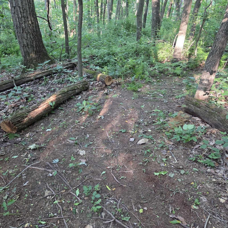
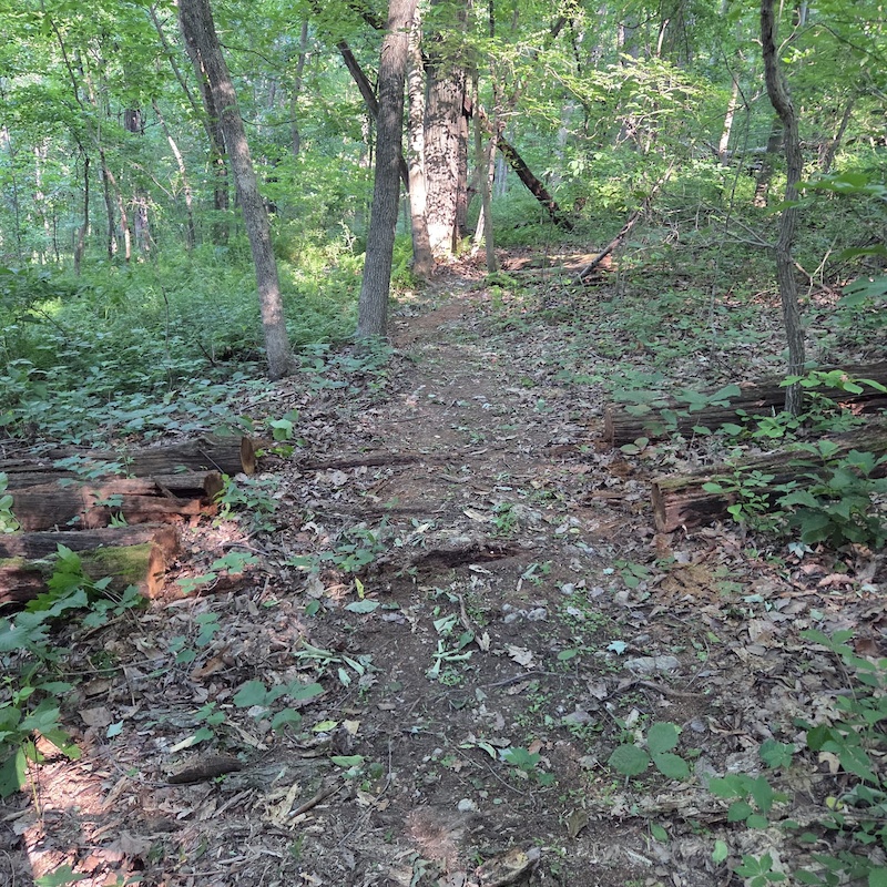
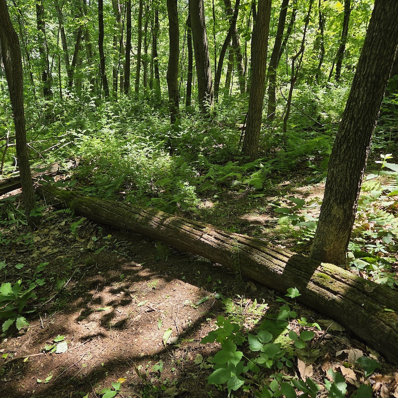
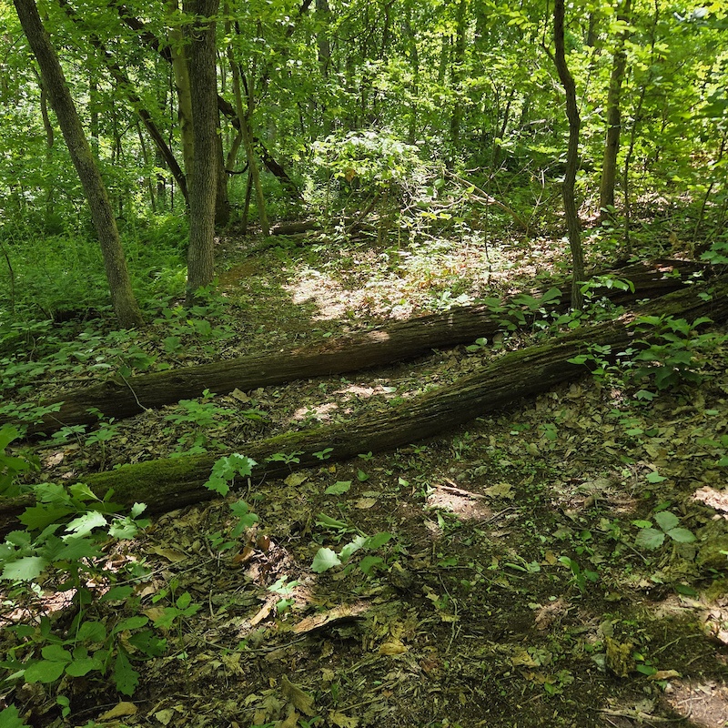
three 12" trees down
close
-
Layers w
- Weather Layers
- Pro
- Pro
- Pro
- Pro
- Pro
- Pro
- More Layers
- Pro
- Pro
- Pro
- Pro
-
Upgrade to

3D
Trail Conditions
- Unknown
- Snow Groomed
- Snow Packed
- Snow Covered
- Snow Cover Partial
- Freeze/thaw Cycle
- Icy
- Prevalent Mud
- Wet
- Variable
- Ideal
- Dry
- Very Dry
Trail Flow (Ridden Direction)
Trailforks scans users ridelogs to determine the most popular direction each trail is ridden. A good flowing trail network will have most trails flowing in a single direction according to their intension.
The colour categories are based on what percentage of riders are riding a trail in its intended direction.
The colour categories are based on what percentage of riders are riding a trail in its intended direction.
- > 96%
- > 90%
- > 80%
- > 70%
- > 50%
- < 50%
- bi-directional trail
- no data
Trail Last Ridden
Trailforks scans ridelogs to determine the last time a trail was ridden.
- < 2 days
- < 1 week
- < 2 weeks
- < 1 month
- < 6 months
- > 6 months
Trail Ridden Direction
The intended direction a trail should be ridden.
- Downhill Only
- Downhill Primary
- Both Directions
- Uphill Primary
- Uphill Only
- One Direction
Contribute Details
Colors indicate trail is missing specified detail.
- Description
- Photos
- Description & Photos
- Videos
Trail Popularity ?
Trailforks scans ridelogs to determine which trails are ridden the most in the last 9 months.
Trails are compared with nearby trails in the same city region with a possible 25 colour shades.
Think of this as a heatmap, more rides = more kinetic energy = warmer colors.
- most popular
- popular
- less popular
- not popular
ATV/ORV/OHV Filter
Max Vehicle Width
inches
US Cell Coverage
Legend

Radar Time
Activity Recordings
Trailforks uses anonymized public activity data.
?
Activity Recordings
Trailforks uses anonymized public activity data.
?
Personal Heatmap
▶
Activity Types
all
/
none
▶
Options
2
Date range
month
–
Winter Trails
Warning
A routing network for winter maps does not exist. Selecting trails using the winter trails layer has been disabled.
Missing Trails
Most Popular
Least Popular
Trails are colored based on popularity. The more popular a trail is, the more red. Less popular trails trend towards green.
Jump Magnitude Heatmap
Heatmap of where riders jump on trails. Zoom in to see individual jumps, click circles to view jump details.
BC Backroad Status
![map legend]()
Service Road Atlas is a free to use, community-driven service for viewing and creating reports on the numerous back-country service roads around B.C. and Alberta.

Slope Aspect
Direction the slope faces
Trails Deemphasized
Trails are shown in grey.
Only show trails with no bike usage.
Suggested Layers
Based on selected activity type
Save the current map location and zoom level as your default home location whenever this page is loaded.
SaveCoordinates: 39.665376, -76.981797
Local Weather During Report
- Summary
MostlyCloudy - Temperature
23° (11°/24°) - Precip
0 mm/h - Wind
7.1 km/h - Cloud Cover
69% - Humidity
0.4
Previous Reports
5 Comments
- + 1
TRHarris
Jun 4, 2026 at 12:51
These logs were left there on purpose by us who built the trails! Stop cutting them out immediately, you are ruining what we purposely left there to challenge advanced riders! I rode there a few days ago and noticed some were cut out! Some have been there for 15 years, on purpose! STOP!
- + 1
Had you actually asked around to the proper people, the people actively maintaining the trails, one of us would have told you that the Hilltop area was currently being worked on. I still can't wrap my head around going out to a trail system and cutting out a ton of logs without first finding out what's CURRENTLY going on with them. If you used to ride there years ago im sure you saw the logs there then, and it was very obvious NOW that they had been left in on purpose. What needs to be done is weed wacking, the sides of the trail a few inches tall, and the tread area down to bare dirt. Anything other work please contact MTBMD on Facebook, they can let you know about trail work days.


- + 1
You asked who!? Could you not tell they were left on purpose and had been there for years? What was your reason behind cutting them all out? We have been working on reroutes and getting everything cleaned up for the last few months! We will be putting logs back in the trail like they used to be, the way the trails were built on purpose, if you can’t ride them get off and walk like every other respectful rider does. Please answer my questions as to who you asked around to, and why you cut them out.
- + 1
@TRHarris: I apologize. I used to ride there up until 2012 or so. When I started coming out again in 2024 it felt forgotten and the comments here parallelled that so thought I was doing the general public a favor. You have been heard. Now I understand. Happy shredding, neighbor 🖖