

Open in App
Get this route on your phone instantly.
PLANO A
- sai da fazenda
- esquerda na Estrada Municipal
- sobe Pedregulhos
- desce Rockgarden (https://www.youtube.com/watch?v=CLXQTBsCkds&t)
- sobe a Papelzão para retornar
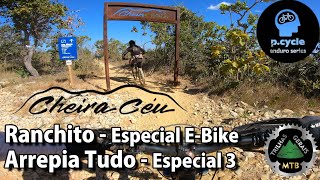
- desce Ranchito (https://www.youtube.com/watch?v=7gNzL1DVsmE)
- sobe a Papelzão para retornar
- pega Pedregulhos em direção a Dorsal da Serra
- desce a Capivara Empanada
- sobe Hagamenon ou Aposentada (pega Dorsal da Serra depois) para retornar
- segue na Dorsal para pegar o portal da Mestre Yoda
- desce Mestre Yoda
- retorna na Zig Zago e encontra na Valéria
- pega a Dorsal da Serra em direção ao portal da Mata Xota
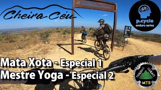
- desce Mata Xota
- se quiser descer Lagoon, retorna na Zig Zago e encontra na Valéria e pega a Dorsal da Serra em direção ao portal da Lagoon, desce e depois Pigmeus, Jungle e Jurassic Park para retornar
- desce Jungle
- pega Jurassic Park para retornar
We hope you've been enjoying Trailforks!
Create a FREE account to view all route reviews and much more.
| 397 ft | |||||
| 1 mile | |||||
| 1 mile | |||||
| 1 mile | |||||
| 1 mile | |||||
| 410 ft | |||||
| 3,757 ft | |||||
| 1 mile | |||||
| 1 mile | |||||
| 5,259 ft |

Service Road Atlas is a free to use, community-driven service for viewing and creating reports on the numerous back-country service roads around B.C. and Alberta.
Save the current map location and zoom level as your default home location whenever this page is loaded.
Save