
12.3 miles
Distance
2,291 ft
Climb
-2,281 ft
Descent
2,284 ft
High Point
10 ft
Altitude change
1,343 ft
Altitude min
1,345 ft
Altitude start
1,355 ft
Altitude end
-67.6%
Grade max
70.8%
Grade min
8 miles
Distance climb
4 miles
Distance down
912 ft
Distance flat

A good local hour and a half rip encompassing four staple descents. Trail to AM bike recommended. Start off with a quick gravel grind from the lot to get the legs going the drop into the bald knob area. The single track climb up to the top of the ridge is your pre payment to the trail gods for the rippin' descent that awaits at the top. Continue up the road to the top of the ridge and enjoy a quick smooth decent down to sandsprings where some loose sweeping, high speed turns wait to test your confidence. Make your way back up the south side of the ridge to the top and drop down the other side on Shingle Town Gap. This is a rumble strip of a trail that will let you get off the brakes if you'd like. Return to where you just dropped from for the last descent, Old laurel. A tried and true classic that will test you line choice and how well you can fend off arm pump.

Detailed Description
Four Staples is a 12 mile moderately popular intermediate route located near State College Pennsylvania. This mountain bike primary route can be used one direction and has a hard overall physical rating. This route includes 7 trails. This route climbs 2,291 ft with a max elevation of 2,284 ft then descends -2,281 ft.
Tags
DropsLooseRidgeline

Trail Issues on Route

  • Minor Issue / Yellow: 1 trail (newest: Aug 31, 2025)

Local Trail Association

Local trail association
Nittany Mountain Bike Association (nittanymba.org)
Please consider joining or donating to the local riding association to support trail development & maintenance.
Donate to earn trail karma!

Trail Products

Stats

  • Distance
    12 miles
  • Avg time
    21 min 29 sec
  • Altitude min
    1,343 ft
  • Altitude start
    1,345 ft
  • Altitude end
    1,355 ft
  • Climb
    2,291 ft
  • Descent
    -2,281 ft
  • Grade max
    -67.6%
  • Grade min
    70.8%
  • Distance climb
    8 miles
  • Distance down
    4 miles
  • Distance flat
    912 ft

6 Reviews & Comments


We hope you've been enjoying Trailforks!

Create a FREE account to view all route reviews and much more.

Details

  • Riding area
  • Primary Activity
    Mountain Bike
  • Other Activities
    • E-Bike
  • Difficulty rating
    Blue
  • Route Type
    Loop
  • eBike Allowed
  • Bike type
    AM
  • Direction
    One Direction
  • Physical rating
    Hard
no votes yet
close
Trail transparency
  • Singletrack
  • Unpaved
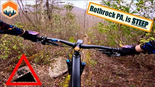
This place gets SKETCHY!  Rothrock state...
mtb
This place gets SKETCHY! Rothrock state forest MTB.
12:57 | 77 | comments: 0 | favs:
Jul 8, 2025
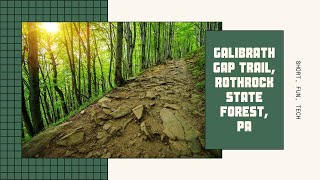
short tech
mtb
short tech
3:37 | 140 | comments: 0 | favs:
Jun 5, 2024

Recent Trail Reports Along Route

statustraildateconditiondescription
Three Bridges Trail
Jul 23, 2026 @ 11:15am (America/New_York)
Jul 23, 2026
Connector Trail
Sep 1, 2025 @ 10:49am
Sep 1, 2025
Little Flat Tower Rd
Aug 31, 2025 @ 8:42am
Aug 31, 2025
Galbraith Gap Trail
Jun 7, 2025 @ 3:08pm
Jun 7, 2025
Old Laurel Run Trail
Apr 9, 2025 @ 6:25pm
Apr 9, 2025
more reports »
  • By yungjaviTF Pro & contributors
  • #24096 - 745 views

Hit the Trail

Open in App

Get this route on your phone instantly.

Download Route

Save to wishlist, Garmin & download.