
IMPORTANT:
Old Mitchell Toll Road is closed to mountain bikers October 1 thru January 30 due to hunting season.
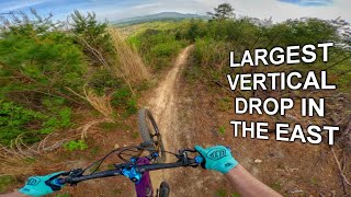
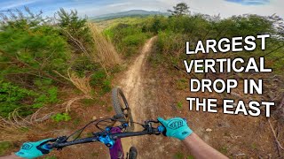
This route starts at the Old Fort Picnic area and takes you on a multi hour paved road and double track climb to reach the start of the aptly named Heartbreak Ridge. All of your efforts are rewarded with a truly epic descent. Your day will end with the many switchbacks and infamous "Heckler's Rock" on Star Gap. A short cool down on Mill Creek Road brings you back to your starting point.
Be aware that this route is very remote so be prepared with plenty of food and water. Also note that this route traverses various private lands, so be respectful and act accordingly.
Local Trail Association
G5 Trail Collective (www.g5trailcollective.org)Stats
-
Distance27 miles
-
Altitude min1,603 ft
-
Altitude start1,614 ft
-
Altitude end1,611 ft
-
Climb4,513 ft
-
Descent-4,519 ft
-
Grade max-64.4%
-
Grade min36.4%
-
Distance climb14 miles
-
Distance down12 miles
-
Distance flat1 mile
18 Reviews & Comments
We hope you've been enjoying Trailforks!
Create a FREE account to view all route reviews and much more.
Trails in Route
Details
-
Riding area
-
Primary ActivityMountain Bike
-
Difficulty ratingBlack Diamond
-
Route TypeLoop
-
eBike Allowed
-
Bike typeAM
-
DirectionOne Direction
-
Physical ratingHard
-
Activity Logs
- Unknown
- Snow Groomed
- Snow Packed
- Snow Covered
- Snow Cover Partial
- Freeze/thaw Cycle
- Icy
- Prevalent Mud
- Wet
- Variable
- Ideal
- Dry
- Very Dry
The colour categories are based on what percentage of users are riding a trail in its intended direction.
- > 96%
- > 90%
- > 80%
- > 70%
- > 50%
- < 50%
- bi-directional trail
- no data
- < 2 days
- < 1 week
- < 2 weeks
- < 1 month
- < 6 months
- > 6 months
- Downhill Only
- Downhill Primary
- Both Directions
- Uphill Primary
- Uphill Only
- One Direction
- Description
- Photos
- Description & Photos
- Videos
- most popular
- popular
- less popular
- not popular
Service Road Atlas is a free to use, community-driven service for viewing and creating reports on the numerous back-country service roads around B.C. and Alberta.
Save the current map location and zoom level as your default home location whenever this page is loaded.
Save- Singletrack
- Unpaved
- Paved
Photos
Videos
Recent Trail Reports Along Route
- By dudedowne & contributors
- #19364 - 6,739 views
