
Start at Parking Lot 10 - Maligne 5th Bridge
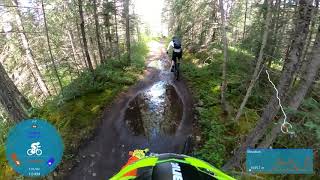
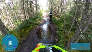
Ride out along the 5th Bridge road (Trail 7g) and across the Maligne Lake road to the junction with Trail 7, ride up this steep loose section of trail all the way to the Maligne Canyon Tea House. Follow the signs for Trail 7h and enjoy the views and flowy descent back to the junction with Trail 7, turn left and follow it back to the parking lot.
To make this ride longer start from town or do a couple of laps, consider using Trail 7ff as your up track to switch it up.
Trail Issues on Route
- Closed: 1 trail (newest: Aug 15, 2026)
- Minor Issue / Yellow: 1 trail (newest: Aug 26, 2025)
Stats
-
Distance4 miles
-
Avg time2 hr 32 min
-
Altitude min3,389 ft
-
Altitude start3,417 ft
-
Altitude end3,419 ft
-
Climb614 ft
-
Descent-614 ft
-
Grade max-45.8%
-
Grade min35.7%
-
Distance climb2 miles
-
Distance down2 miles
-
Distance flat2,352 ft
4 Reviews & Comments
We hope you've been enjoying Trailforks!
Create a FREE account to view all route reviews and much more.
Trails in Route
| 561 ft | |||||
| 1,358 ft | |||||
| 5,223 ft | |||||
| 413 ft |
Details
-
Riding area
-
Primary ActivityMountain Bike
-
Difficulty ratingBlack Diamond
-
Route TypeLoop
-
Bike typeAM
-
DirectionOne Direction
-
Physical ratingHard
-
Activity Logs
- Unknown
- Snow Groomed
- Snow Packed
- Snow Covered
- Snow Cover Partial
- Freeze/thaw Cycle
- Icy
- Prevalent Mud
- Wet
- Variable
- Ideal
- Dry
- Very Dry
The colour categories are based on what percentage of users are riding a trail in its intended direction.
- > 96%
- > 90%
- > 80%
- > 70%
- > 50%
- < 50%
- bi-directional trail
- no data
- < 2 days
- < 1 week
- < 2 weeks
- < 1 month
- < 6 months
- > 6 months
- Downhill Only
- Downhill Primary
- Both Directions
- Uphill Primary
- Uphill Only
- One Direction
- Description
- Photos
- Description & Photos
- Videos
- most popular
- popular
- less popular
- not popular
Service Road Atlas is a free to use, community-driven service for viewing and creating reports on the numerous back-country service roads around B.C. and Alberta.
Save the current map location and zoom level as your default home location whenever this page is loaded.
Save- Singletrack
- Unpaved
Photos
Videos