

Open in App
Get this route on your phone instantly.
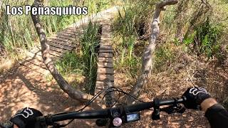
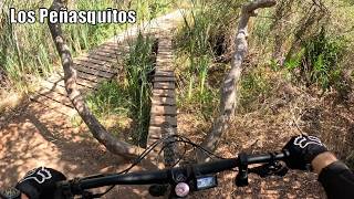
This PQ route will start from Penasquitos Creek Park parking lot and ride west to the powerline climb. A short rip through bowtie rim will lead to tunnel 4, then to deer canyon west to the del Vino/boat ramp climb, down cobbles and back to the park. Two climbs and two great descents.

We hope you've been enjoying Trailforks!
Create a FREE account to view all route reviews and much more.
| 988 ft | |||||
| 3,219 ft | |||||
| 4,692 ft | |||||
| 449 ft | |||||
| 2,976 ft | |||||
| 4,692 ft | |||||
| 220 ft | |||||
| 1,677 ft | |||||
| 180 ft | |||||
| 1,509 ft | |||||
| 1,404 ft | |||||
| 1,243 ft | |||||
| 1,237 ft | |||||
| 374 ft | |||||
| 3,110 ft | |||||
| 951 ft |

Service Road Atlas is a free to use, community-driven service for viewing and creating reports on the numerous back-country service roads around B.C. and Alberta.
Save the current map location and zoom level as your default home location whenever this page is loaded.
Save & contributors