

Open in App
Get this route on your phone instantly.
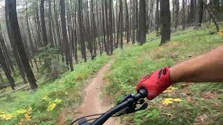
Another installment in the 10k trail running routes in Elkwater with a healthy amount of climbing starting at the bottom of Mazama Drop, merging onto Tephra, picking up Cobble Miner and taking Upper Mystery to the top. The terrain throughout the climb will engage you with nicely placed cobble and roots, and will having you smiling as the trails flow to the top of the ski hill. The descent on this one is the challenging and technical Red Surge. Steep and rooty terrain that will have you moving through tight corners with fast feet. At the bottom you head north crossing the base of the ski hill to the far Hidden Valley ski run. Pick up the Ruttentuke trail on the uphill right side of the ski run. Follow this trail to Ranger which will take you in behind the skating rink, and back towards the start of your adventure. Ruttentuke, and Ranger both run fast in this direction, so enjoy, as the loop is just about over. Enjoy

We hope you've been enjoying Trailforks!
Create a FREE account to view all route reviews and much more.

Service Road Atlas is a free to use, community-driven service for viewing and creating reports on the numerous back-country service roads around B.C. and Alberta.
Save the current map location and zoom level as your default home location whenever this page is loaded.
Save & contributors