


Open in App
Get this route on your phone instantly.
Want some solitude and break from the city life without leaving the city? Try this loop!
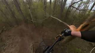
This loop weaves through Paskapoo Slopes, taking you up the best climbs and down some of the many great downs.Take in the many interesting sites including submerged cars, a Buddhist Stupa, beautiful vistas of the city, the Big Rock (glacier erratic), and Susan, the local moose, if you are lucky.
Expect some flow (you may have to make your own), punchy rooty climbs, 14 bridges over creeks (many have been kindly built by CMBA), and a lot of tight trees. Wide handlebars will do you no service!
Be respectful of walkers and trail runners, not only are they awesome and friendly in these parts, they pack these trails into hard-packed snowy bobsled tracks in the winter, which are unbelievably fun.

We hope you've been enjoying Trailforks!
Create a FREE account to view all route reviews and much more.
| 2 miles | |||||
| 449 ft | |||||
| 1,017 ft | |||||
| 728 ft | |||||
| 440 ft | |||||
| 230 ft | |||||
| 1,106 ft | |||||
| 456 ft | |||||
| 440 ft | |||||
| 3,855 ft | |||||
| 1,765 ft |

Service Road Atlas is a free to use, community-driven service for viewing and creating reports on the numerous back-country service roads around B.C. and Alberta.
Save the current map location and zoom level as your default home location whenever this page is loaded.
Save TROL & contributors