

Open in App
Get this route on your phone instantly.
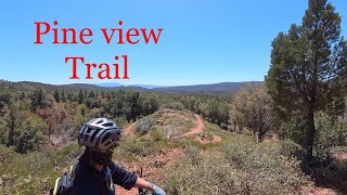
The newly completed 21-mile loop is made up of several trails, including a few miles of the Arizona Trail (AZT). The 12-year-long project concluded in 2025 with the completion of the Two Ravens Trail, a two-mile intermediate segment that completed the loop.
While there are some offshoots on different segments, five main trails make up the loop around Pine: Two Ravens, Whiterock Mesa (AZT), Pine Canyon, Bearfoot, and Pine-Strawberry. Each of these trails is rated blue, making the entire loop an intermediate-friendly ride that climbs to an elevation of over 6,000 feet.
Even though the entire 21-mile mountain bike loop around Pine has an intermediate rating, it is important to acknowledge the rough and rugged terrain that makes up the lion’s share of Arizona riding — a blue trail in AZ may be a black trail elsewhere.
The eastern portion of the loop is where the trail climbs above the 6,000-foot mark, but the entire loop is located at more than 5,000 feet above sea level.

We hope you've been enjoying Trailforks!
Create a FREE account to view route comments and much more.
| 2 miles | |||||
| 2 miles | |||||
| 7 miles | |||||
| 6 miles |


Service Road Atlas is a free to use, community-driven service for viewing and creating reports on the numerous back-country service roads around B.C. and Alberta.
Save the current map location and zoom level as your default home location whenever this page is loaded.
Save & contributors