

Open in App
Get this route on your phone instantly.
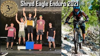
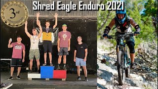
Seven stage race course for the Victory Racing Shred Eagle #2. The race starts with a shuttle to the top of stage 1 (Presidential), next you'll be shuttled up the backside over to stage 2 (Rockzilla), you'll then traverse the creek bed and climb out to stage 3 (Cedar Slayer), next follow the same climb trail to the fire road and head over to Stage 4 (Goldfinger) where again you'll climb out for the last time. You'll then traverse the fire road past the windmill and race down Stage 5 (Zip-Line Trail). From there you'll need to get shuttled back up to race stage 6 (Second Chance). Again you'll shuttle back up but this time to the mid-point and race stage 7 (Armadillo Slide) to end the race. Take the Fire road back to the pavilion.
We hope you've been enjoying Trailforks!
Create a FREE account to view all route reviews and much more.
| 869 ft | |||||
| 3,346 ft | |||||
| 627 ft | |||||
| 1,867 ft | |||||
| 1,112 ft | |||||
| 3,825 ft | |||||
| 1,683 ft | |||||
| 3,822 ft | |||||
| 479 ft | |||||
| 554 ft |

Service Road Atlas is a free to use, community-driven service for viewing and creating reports on the numerous back-country service roads around B.C. and Alberta.
Save the current map location and zoom level as your default home location whenever this page is loaded.
Save & contributors