

Open in App
Get this route on your phone instantly.
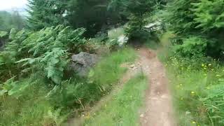
Out through Innerleithen via Minch Moor, over the Southern Upland way to the Three Brethren. This is all cross country with a fair bit of climbing. The hills are very exposed once you get away from the area where the trail centre is.
Once you arrive at the Three Brethren there are numerous routes down through Yair Forest to the cycle route at the bottom.
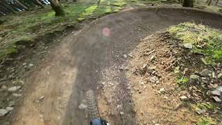
This particular route follows some of the harder, technical descents in Yair, but you could easily go down the fire road, or various other way marked paths.
The return route is on tarmac and relatively easy going.

We hope you've been enjoying Trailforks!
Create a FREE account to view all route reviews and much more.
| 2,703 ft | |||||
| 3,061 ft | |||||
| 4,495 ft | |||||
| 2,887 ft | |||||
| 1,014 ft | |||||
| 1 mile | |||||
| 1 mile | |||||
| 518 ft | |||||
| 3,146 ft | |||||
| 1,631 ft | |||||
| 1 mile | |||||
| 5 miles | |||||
| 4,925 ft | |||||
| 1,706 ft | |||||
| 1,020 ft | |||||
| 1,467 ft | |||||
| 210 ft | |||||
| 112 ft |


Service Road Atlas is a free to use, community-driven service for viewing and creating reports on the numerous back-country service roads around B.C. and Alberta.
Save the current map location and zoom level as your default home location whenever this page is loaded.
Save