
Open in App
Get this route on your phone instantly.
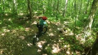
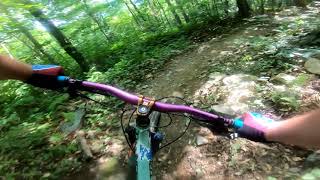
Starts off on an easy warm up lap followed by a climb to the cabin. From there you can have fun on several trails in Adams Camp before a final easy cruise back to the parking lot.
We hope you've been enjoying Trailforks!
Create a FREE account to view route comments and much more.
| 758 ft | |||||
| 2,467 ft | |||||
| 1,119 ft | |||||
| 1,280 ft | |||||
| 3,402 ft | |||||
| 2,487 ft | |||||
| 1,453 ft | |||||
| 338 ft | |||||
| 640 ft | |||||
| 2,743 ft | |||||
| 2 miles | |||||
| 984 ft | |||||
| 3,458 ft | |||||
| 1 mile | |||||
| 3,320 ft | |||||
| 2 miles | |||||
| 1 mile | |||||
| 1,568 ft | |||||
| 4,367 ft | |||||
| 525 ft |

Service Road Atlas is a free to use, community-driven service for viewing and creating reports on the numerous back-country service roads around B.C. and Alberta.
Save the current map location and zoom level as your default home location whenever this page is loaded.
Save