
Open in App
Get this route on your phone instantly.
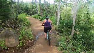
The Verde circuit is the easiest way to descend the mountain. The tracks are quite easy in themselves, but you will benefit from respecting your limits and taking your time. One way or another, you'll be tempted to take breaks thanks to the many beautiful lookout points.
We hope you've been enjoying Trailforks!
Create a FREE account to view route comments and much more.
| 2 miles | |||||
| 5,069 ft | |||||
| 1 mile | |||||
| 2,018 ft |

Service Road Atlas is a free to use, community-driven service for viewing and creating reports on the numerous back-country service roads around B.C. and Alberta.
Save the current map location and zoom level as your default home location whenever this page is loaded.
Save| status | trail | date | condition | description |
|---|---|---|---|---|
Aug 2, 2025 @ 10:07am Aug 2, 2025 | ||||
Aug 2, 2025 @ 10:07am Aug 2, 2025 |