




Open in App
Get this trail on your phone instantly.

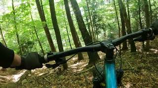
Stroma, kamienista i bardzo szybka trasa ze sporą ilością nierówności i sztucznych elementów (np. „hopki”). Zaczyna się na wschodnim wierzchołku Koziej Góry (dojazd trwa około 45min od centrum ścieżek). Kończy się na dole Błoni przy stawie (zaraz obok centrum). Trasa wymaga świetnej kontroli roweru przy dużych prędkościach oraz wielu zjazdowych umiejętności na najwyższym poziomie.

| c1 | c2 | c3 | c4 |
|---|---|---|---|
January | February | March | April |
May | June | July | August |
September | October | November | December |

Service Road Atlas is a free to use, community-driven service for viewing and creating reports on the numerous back-country service roads around B.C. and Alberta.
Save the current map location and zoom level as your default home location whenever this page is loaded.
SaveWe hope you've been enjoying Trailforks!
Create a FREE account to view all trail reviews and much more.
 TRAILFORKS Poland & contributors
You must enter a description before submitting.

