


Open in App
Get this trail on your phone instantly.

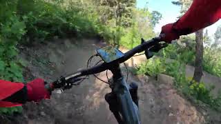
Rolling trail with technical root and rock sections and sweeping turns through dense old growth forest on the south side of Mill Creek and the maple trees on the north side of Mill Creek. Wide, bi-directional trail constructed in 2024. Note that the suggested direction is downhill, from the Mueller Park trail to the Maple Syrup trail. Perrigrine is open to hikers, MTB, and horses.
The trail was named for Perrigrine Sessions, the first Mormon settler in the Bountiful area. The north half of the trail is on the lower slopes of Sessions mountain.
Narrow with technical exposed features, required a spotter on bowhead rx

| c1 | c2 | c3 | c4 |
|---|---|---|---|
January | February | March | April |
May | June | July | August |
September | October | November | December |

Service Road Atlas is a free to use, community-driven service for viewing and creating reports on the numerous back-country service roads around B.C. and Alberta.
Save the current map location and zoom level as your default home location whenever this page is loaded.
SaveWe hope you've been enjoying Trailforks!
Create a FREE account to view all trail reviews and much more.
 TRAILFORKS & contributors
You must enter a description before submitting.

