
more stats
2,959 ft
Distance
3 ft
Climb
-74 ft
Descent
00:02:48
Avg time
-74 ft
Altitude change
1,669 ft
Altitude min
1,743 ft
Altitude max
1,743 ft
Altitude start
1,670 ft
Altitude end
-2.5%
Grade
-10.5%
Grade max
4.2%
Grade min
66 ft
Distance climb
1,217 ft
Distance down
1,663 ft
Distance flat
00:02:48
Avg time

Send It Details

  • Activities
    • Mountain Bike
    • E-Bike
    • Adaptive Bike
    • Winter Fat Bike
  • Riding Area
    WinMan Trails
    Manitowish Waters, Wisconsin
  • Difficulty Rating
  • Local Popularity
    85 in Mountain Biking heatmap [+]
    • 80 in E-Biking
    • 55 in Winter Fat Biking
    • 5 in Adaptive Biking
  • Global Ranking
    #37733 in Mountain Biking [+]
    • #18671 in E-Biking
    • #1564 in Winter Fat Biking
    • #1963 in Adaptive Biking
  • State Ranking
    #363 in Mountain Biking · Wisconsin [+]
    • #80 in E-Biking
    • #31 in Winter Fat Biking
    • #7 in Adaptive Biking
  • Trail Type
    Singletrack
  • Bike Type
    AM, XC, Fat, Adaptive MTB
  • Direction
    One Direction
    Popular Direction Shown
  • Climb Difficulty
    Green
  • Physical Rating
    Moderate
  • Trail Visibility
    Always easy to follow
  • Dogs Allowed
    Yes
  • eBike Allowed
    Yes up to Class 1
  • TTFs on Trail
    Drop, Jump, Rock Garden, Roller Coaster
  • Land Owner
    WinMan Trails

Send it is a fast trail with jumps and drops for expert riders. The features are very well built and the trail is great for progressing your skills in the air and having loads of fun There are both rock drops, table top jumps, and doubles.

Adaptive Bike Info
aMTB Blue Rating: Intermediate features and steeper terrain.

All drops have ride around options that are sufficently wide. There are numerous table top jumps that can be steep at times. There are also some rocks to navigate.

Tags
BermsDropsJumpsRock gardensRollers

Local Trail Association

Recent Activity on Trail

Past Week
  • 2 rides
  • 20 miles average
6 Months
  • 128 rides
  • 14 miles avg distance
All
  • 411 rides
  • Last: Nov 14, 2026
c1c2c3c4
January
February
March
April
May
June
July
August
September
October
November
December
Status:
on Nov 7, 2026
Dry
Avg: 4.36 (5 votes)
Your vote: 0

view (2,743)
close
      Directions to send-it-303328 trailhead (46.188790, -89.879950)

      Photos

      14 more »
      mtb
      278 |
      May 29, 2021 @ 6:03am
      May 29, 2021
      mtb
      73 |
      Sep 15, 2023 @ 11:44am
      Sep 15, 2023
      mtb
      73 |
      Sep 15, 2023 @ 11:43am
      Sep 15, 2023
      mtb
      83 |
      Sep 15, 2023 @ 11:43am
      Sep 15, 2023

      Videos

      7 more »
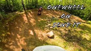
      Onewheel on Send It Trail at WinMan
      mtb
      3:19 | 53 | May 25, 2025 , Manitowish Waters
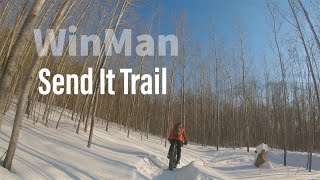
      WinMan Trails Send It, Fat Bike Edition
      mtb
      6:17 | 34 | May 25, 2025 , Manitowish Waters
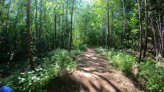
      Send It Trail at WinMan
      mtb
      2:22 | 268 | Jul 12, 2022 , Manitowish Waters
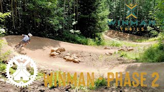
      WINMAN TRAILS | Whats NEW with PHASE 2 | Red...
      mtb
      8:39 | 286 | Jul 27, 2021 , Manitowish Waters
      4.8 ★★★★★
      5 Ratings
      5 ★ 80%
      4 ★ 20%
      3 ★
      2 ★
      1 ★

      1 Review & Comments

      trusstruss
      WinMan loves you. If it didn’t, it wouldn’t have made this amazing run. Fast, flowy, great drops, many of which non-shredders can aspire to. The rock garden looks a bit ill-conceived—until you ride it; and better, slam your bike over it at speed then take the drop! Send It may be WinMan’s best trail. Bravo!

      We hope you've been enjoying Trailforks!

      Create a FREE account to view all trail reviews and much more.

      • By LandonarkensTF Pro & contributors
      • #303328 - 1,452 views

      Frequently Asked Questions

      ▼ Where is Send It located?
      Send It is located in WinMan Trails, Manitowish Waters, Wisconsin, United States. It is part of the WinMan Trails trail network. The trailhead is located at coordinates 46.18879, -89.87995.
      ▼ How hard is Send It?
      Send It is rated as Blue difficulty. The physical rating is Moderate. The average grade is 2.5%. The climb difficulty is rated Green.
      ▼ What is the elevation gain for Send It?
      Send It has 3 ft of elevation gain. The trail has 74 ft of elevation descent. The elevation ranges from 1,669 ft to 1,743 ft.
      ▼ Is Send It a point to point trail?
      Yes, Send It is a point to point trail. The direction is One Direction. The trail type is singletrack.
      ▼ How long is Send It?
      Send It is 2,959 ft long. The trail type is singletrack.
      ▼ Are dogs allowed on Send It?
      Yes, dogs are allowed on Send It. Please keep dogs on a leash where required and clean up after them.
      ▼ How do I access Send It? Where is the closest parking trailhead?
      The closest parking and trailhead locations to Send It are: View all parking locations in the area.
      ▼ How long does it take to ride Send It?
      Based on recorded activities, it takes an average of 3 minutes to ride Send It. The trail is 2,959 ft long. Actual times will vary based on fitness level, conditions, and pace. View recent activity logs for more details.
      ▼ How busy is Send It?
      Send It is a very popular trail. There have been 1,883 recorded activities on this trail. The trail has received 2,743 check-ins. View recent activity on this trail.

      Hit the Trail

      Open in App

      Get this trail on your phone instantly.

      open trail in app

      Download Trail

      Save to wishlist, Garmin & download.
      save the trail

      Find Related Routes

      Find routes and users activities that include this trail.
      find routes for this trail

      You must enter a description before submitting.

