
We hope you've been enjoying Trailforks!
Create a FREE account to continue using Trailforks free features such as tracking your activities, getting personalized trail recommendations, and contribute trail condition reports for the broader community.
- Track all of your activities and the trails that you’ve completed
- Get personalized trail and route recommendations
- Get updates on local conditions and trail closures
- Create and save your personal routes
- Create wishlists of trails, routes & regions to explore
- Compete with friends in leaderboards, enter contests & earn badges
- Save personal waypoints, custom maps & more
- Contribute detailed trail reports of conditions and issues
By selecting either 'Create a Free Account' or 'Login' you agree to Outside's Terms of Use and Privacy Policy.
- prev feature
- next feature
Map Layers
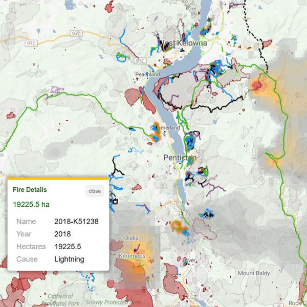
Trailforks Pro layers offer enhanced map overlays, providing access to features like detailed weather, fires, smoke, air quality, and additional map layers for improved navigation and planning.