



Open in App
Get this trail on your phone instantly.

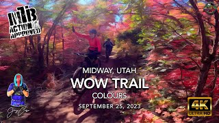
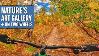
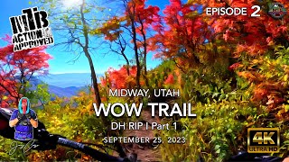
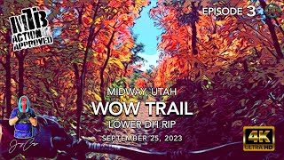
One of the top rides in the area Ride through several different ecosystems from high-alpine aspens, to pine forests, to high desert rocks, and oaks. Starts with a mixed up and down section which has a few hundred feet of climbing and a small creek crossing. Once you hit the top, it's miles of downhill to enjoy! Connects to the Maple Grove trail near the midpoint. Overall has a mix of flow and technical sections with a few rock gardens, but nothing too gnarly. Big berms in the middle of nowhere is a great feature!
Trail is 26 to 34 inches wide and mostly on camber, with the exception of a significant off camber rock at the intersection with Maple Grove. Overall, there’s a lot of technical moves with a fair amount of rocky and narrow sections, with some fairly significant exposure at all times.
I would not recommend a 36in wide bike on this trail.

| c1 | c2 | c3 | c4 |
|---|---|---|---|
January | February | March | April |
May | June | July | August |
September | October | November | December |

Service Road Atlas is a free to use, community-driven service for viewing and creating reports on the numerous back-country service roads around B.C. and Alberta.
Save the current map location and zoom level as your default home location whenever this page is loaded.
SaveWe hope you've been enjoying Trailforks!
Create a FREE account to view all trail reviews and much more.
 Trailforks & contributors
You must enter a description before submitting.

