
Cross Country and Nordic Skiing Map & Planning App
Download Trailforks App
Trailforks is your essential companion for interactive Nordic and Cross-Country ski maps, making it easy to discover new routes and plan your next ski outing.
Originally built for mountain bikers, Trailforks now supports a variety of outdoor activities, including Nordic skiing, backcountry skiing and downhill skiing. Dive into the Trailforks website or app to access powerful planning tools, detailed maps, and community insights that will enhance every ski adventure.
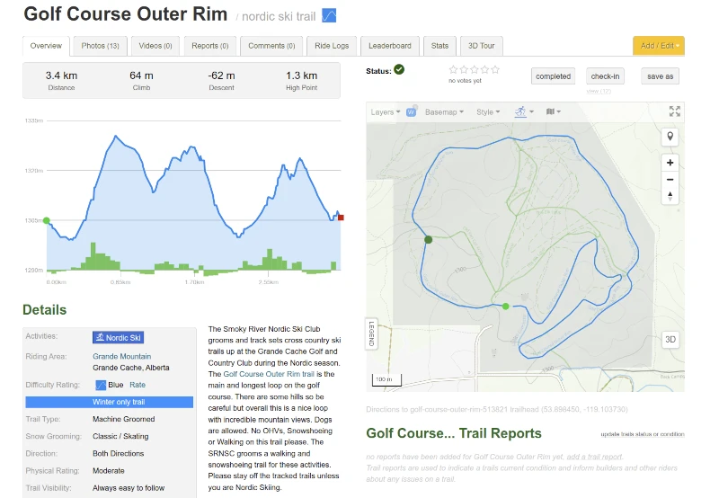
Plan Your Ski Trip
View existing Nordic and Cross Country Skiing Trails and loops, or use our custom Route Planner to create your own ski route and sync it to the app for offline use.
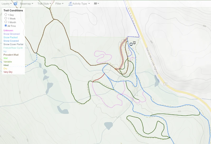
Trail Reports & Conditions
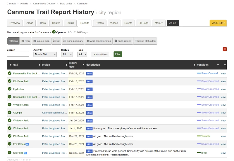
Explore the most recent trail reports shared by the Trailforks community to get up-to-date info on snow conditions, grooming status, and photos.
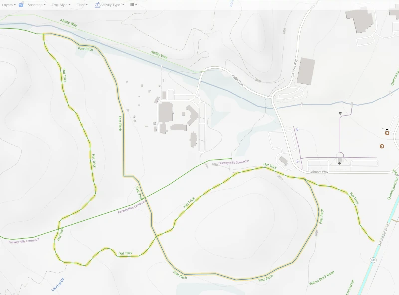
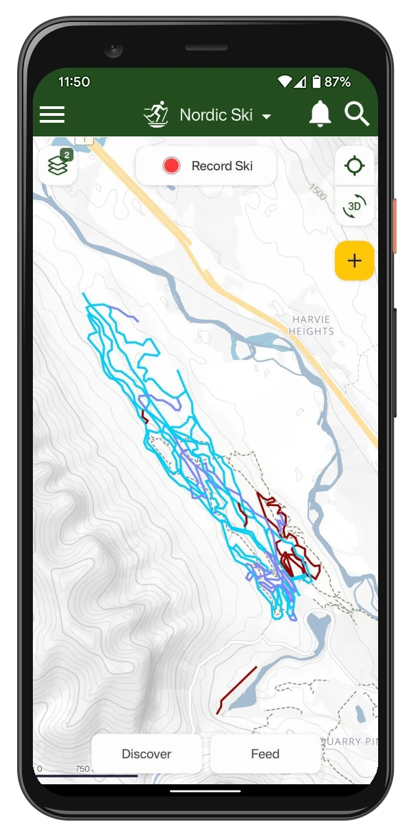
The "Last Used" trail style highlights when a trail was most recently used by other skiers.
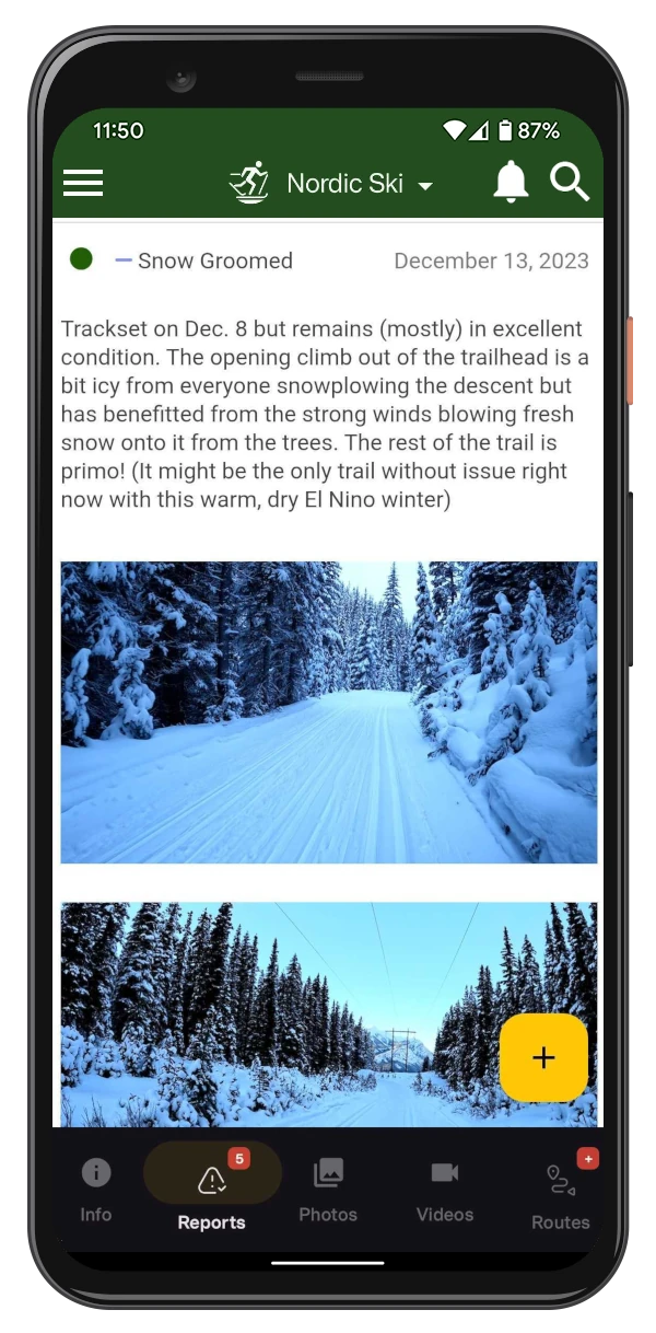
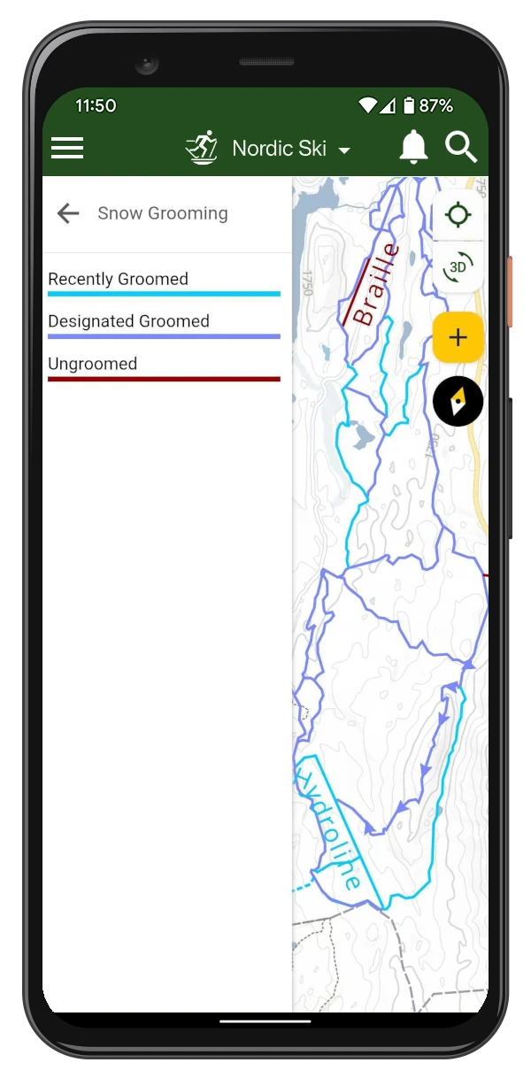
Trail Surface and Grooming
Know what surface type to expect on the trails - they can be groomed for classic, skate skiing, or both.
Trail Lighting
Some trails are lit for night skiing - check the trail details or map to see if lighting is available.
Activity Recordings
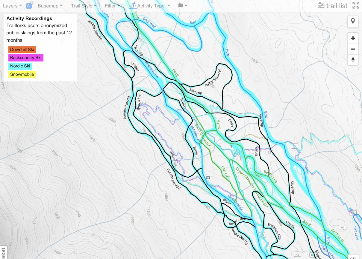
Discover recent Nordic and Cross Country Skiing activity on trails and routes, so you know which trails are currently being used by other skiers.
Weather Layers
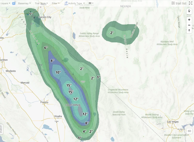
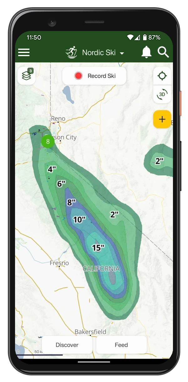
Stay informed about conditions with Trailforks Weather layers, including 24-hour snow forecast, recent snowfall data, precipitation, webcams, and more to help you plan your ski trips.
See every snow forecast & weather layer.
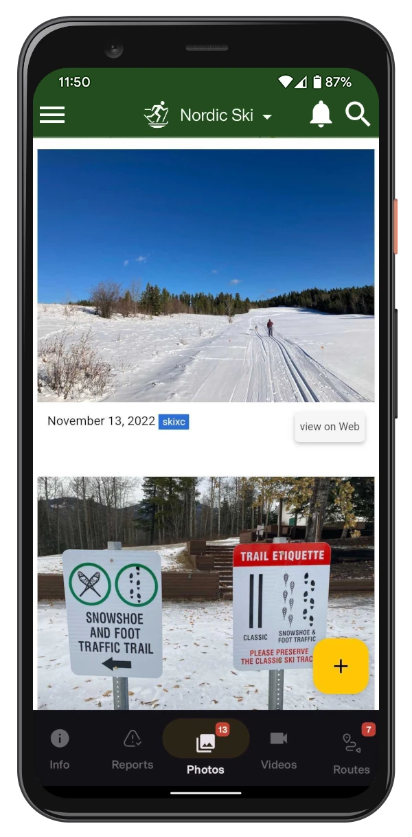
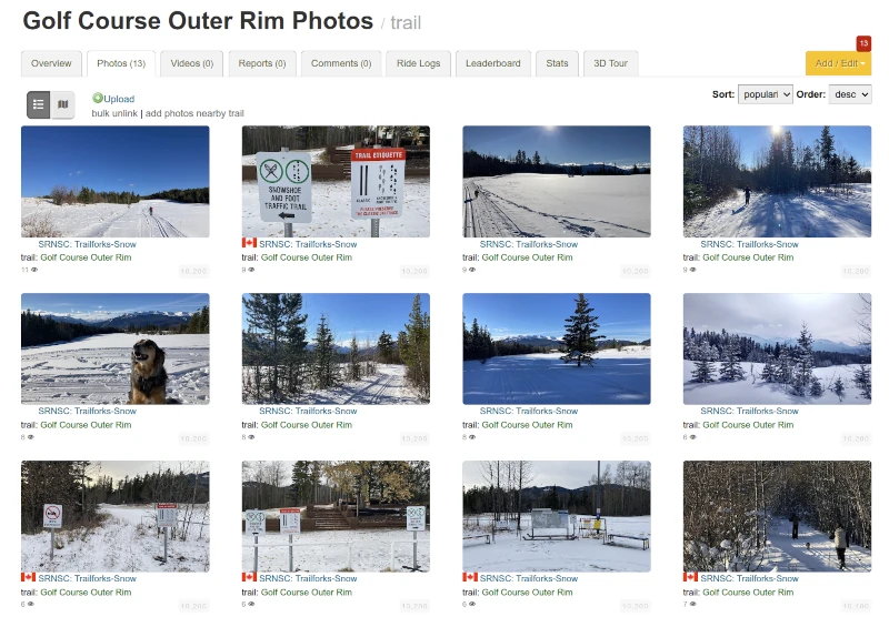
Trail and Route Photos
See what the selected ski route or trail looks like from photos uploaded by other users. Help the community by uploading your own photos of the trails you ski.
Plan Your Next
Nordic Ski Trip
Winter Specific Maps and Trails
You can easily filter for groomed Nordic ski trails and cross-country routes. This way, you can avoid unsuitable terrain and focus on the trails best for skiing.
Traildar
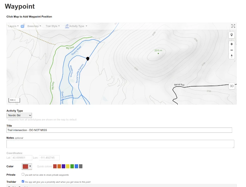
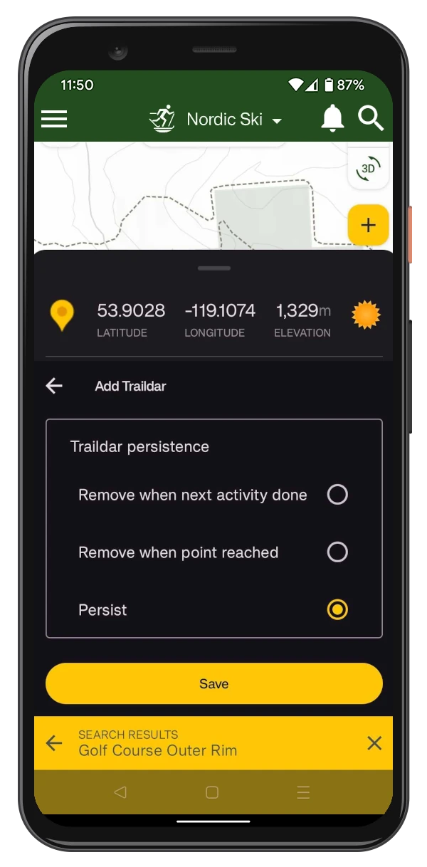
Place your own points of interest on the map - intersections, viewpoints or anything you don't want to miss along the way using Trailforks Traildar feature.
You will receive a notification on your app or Apple Watch as you approach the waypoint.
Plan on The Website
Use the App in the Backcountry!

Offline Maps
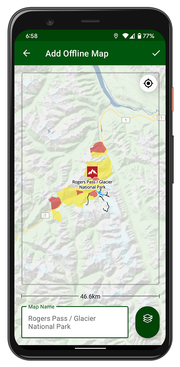
All ski trails, points of interest, polygons, and your routes are available offline. Your phone's GPS functions without a network connection.
Offline Basemaps & Layers
Download basemap tiles and certain layers for offline use in the app.
Keep Track of Your Ski Adventures
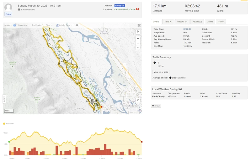
Record your Nordic and Cross Country ski trips with the Trailforks app or link your Garmin Device or Apple Watch. You can keep track of all your ski activities, share them with your friends and the Trailforks community, or even let them follow you in real time.
More Features
- View trail reports with status and conditions
- Discover popular Cross Country ski trails
- List Routes for a specific trail
- Share a pin of your current location
- Personal Waypoints
- Compass Direction
- Trail grooming status
- Trail photos and videos
- Trail lighting information
Get More With Outside+
- All the Trailforks Pro functionality
- Gaia GPS Premium
- Unlimited access across the Outside Network, including SKI Magazine
- Live Event Coverage, Films and Series
- Expert Tutorials, Travel Discounts
