
Plan a Route
Build a route on real trail data instead of guessing from a basemap — with distance and climbing worked out as you go.
Click the points you want to link and the planner follows the actual trail and road network between them, giving you distance and climbing as you build — so you know what you are signing up for before you ride or walk it.
Plan for how you are going out
Mountain biking
Link climbs and descents into a loop, check the elevation before you commit, and keep the route on trails that actually connect.
Hiking and trail running
Plan an out-and-back or a loop with the climbing laid out in advance, then carry it offline on your phone.
Gravel and road
Route across mixed surfaces, joining trail sections to quiet roads where the network allows it.
Moto, ski touring and snow
Plan on winter and motorised networks where they exist, with the same distance and elevation read-out.
What you get from a planned route
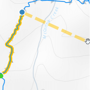
Distance and climbing up front
See total distance and elevation gain as the route builds, so a plan can be adjusted before it becomes a long day.
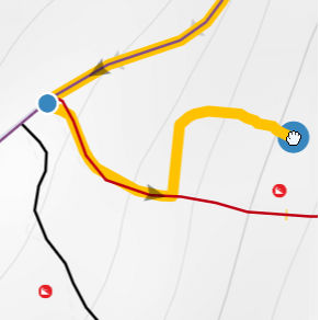
Routes that go where you want
Where the network is missing a connection, or you are heading off-grid, draw the section by hand and carry on.
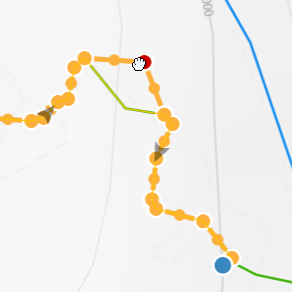
Bring an existing GPX
Upload a GPX and snap it to the trail network to clean up a track recorded from someone else's ride.
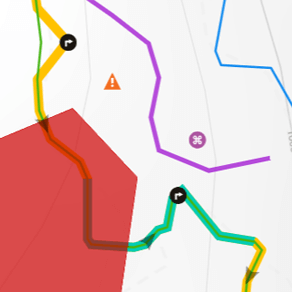
Notes for the people riding it
Mark parking, water, regroup points and hazards, so a shared route explains itself.
Take it with you
A saved route syncs to the Trailforks app for offline use on the trail, exports to Garmin and other devices, and can be shared by link — which is usually the easiest way to get everyone on the same plan before a group ride or a trip.
Want the detail on how the routing engine works, the selecting methods and the technical side? That is covered on the Route Planner feature page. If you would rather start from something that already exists, browse routes other people have shared or find trails on the Trailforks map.
We hope you've been enjoying Trailforks!
Create a FREE account to Create your own route plans with advanced features like auto-routing, hand drawing, POIs, colored sections, polygons & more! and much more.
- Track all of your activities and the trails that you’ve completed
- Get personalized trail and route recommendations
- Get updates on local conditions and trail closures
- Create and save your personal routes
- Create wishlists of trails, routes & regions to explore
- Compete with friends in leaderboards, enter contests & earn badges
- Save personal waypoints, custom maps & more
- Contribute detailed trail reports of conditions and issues