
Open in App
Get this route on your phone instantly.
From Auburn Ravine Rd exit off Highway 80 go south over the Auburn Ravine Bridge. Continue 1 mile and turn Left on Lake Clementine Road. Obvious dirt parking lot on left after another 1/2 mile.
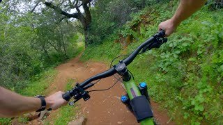
Start on the out and back Foresthill Connector Trail. Enjoy the view at the North Fork Bench Overlook after a nice climb. Continue until trail ends at the Yellow Trails Merge sign.
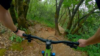
Take the rightmost trail up over the hill and down across Auburn Ravine Rd to continue to the next junction. Take the left onto the Foresthill Divide Trail. Enjoy the windy downhills and uphills until you once again cross Auburn Ravine Rd. Take a break at the picnic bench near the trail entrance on the north side of the road.
Enjoy the return trip on the north side of Foresthill Divide Trail until you rejoin Forrest Hill Connector Trail at the Yellow Trails Merge sign.
We hope you've been enjoying Trailforks!
Create a FREE account to view route comments and much more.

Service Road Atlas is a free to use, community-driven service for viewing and creating reports on the numerous back-country service roads around B.C. and Alberta.
Save the current map location and zoom level as your default home location whenever this page is loaded.
Save| status | trail | date | condition | description |
|---|---|---|---|---|
May 30, 2026 @ 1:45pm (America/Los_Angeles) May 30, 2026 | ||||
May 30, 2026 @ 1:45pm (America/Los_Angeles) May 30, 2026 |