
Open in App
Get this route on your phone instantly.
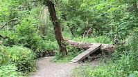
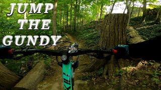
A small loop to try out a few green and blue runs in the Don. There is one short, steep black run that can be used as a challenge, or if uncomfortable can be hiked.
We hope you've been enjoying Trailforks!
Create a FREE account to view route comments and much more.
| 1 mile | |||||
| 348 ft | |||||
| 1 mile | |||||
| 617 ft | |||||
| 1,857 ft | |||||
| 1,578 ft | |||||
| 928 ft | |||||
| 1,854 ft | |||||
| 614 ft | |||||
| 262 ft | |||||
| 2,904 ft | |||||
| 3,799 ft | |||||
| 781 ft | |||||
| 515 ft |

Service Road Atlas is a free to use, community-driven service for viewing and creating reports on the numerous back-country service roads around B.C. and Alberta.
Save the current map location and zoom level as your default home location whenever this page is loaded.
Save