

Open in App
Get this route on your phone instantly.
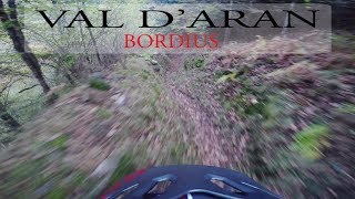
Enjoy the wild side of Aran in the valley closest to the French border, where tourism has left a little trace. Spruce and beech forests, moss and ferns environment will lead you to enjoy a descent that is never difficult but that will keep you focused on the bike, making curves along the historic path that descends from the old village of Bordius, a set of traditional buildings still in good condition, to the bottom of Toran riverside.
It is a shady descent, usually with a good grip, which we will share with pedestrians, so slow down and if possible avoid the days and hours of peak visitor traffic.
The tour is relatively quick and comfortable: the ascent runs along a paved road with a constant slope, and the return after the descent follows a road as well. However, the altitude gain isn’t negligible and the distance isn’t neither. Get ready for a lonely adventure

We hope you've been enjoying Trailforks!
Create a FREE account to view all route reviews and much more.


Service Road Atlas is a free to use, community-driven service for viewing and creating reports on the numerous back-country service roads around B.C. and Alberta.
Save the current map location and zoom level as your default home location whenever this page is loaded.
Save| status | trail | date | condition | description |
|---|---|---|---|---|
May 10, 2026 @ 10:11am (Europe/Madrid) May 10, 2026 | Hi ha fulla però molta calitat. reporter |
 TFSPAIN & contributors