


Open in App
Get this route on your phone instantly.
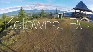
Full mountain loop that covers most of the park. Great views with a nice balance of climbs and drops.

We hope you've been enjoying Trailforks!
Create a FREE account to view all route reviews and much more.
| 367 ft | |||||
| 3,488 ft | |||||
| 5,157 ft | |||||
| 1,027 ft | |||||
| 161 ft | |||||
| 3,169 ft | |||||
| 13 ft | |||||
| 3,806 ft | |||||
| 899 ft | |||||
| 2,651 ft | |||||
| 3,012 ft | |||||
| 643 ft | |||||
| 912 ft | |||||
| 1,903 ft | |||||
| 3,688 ft |

Service Road Atlas is a free to use, community-driven service for viewing and creating reports on the numerous back-country service roads around B.C. and Alberta.
Save the current map location and zoom level as your default home location whenever this page is loaded.
Save & contributors