

Open in App
Get this route on your phone instantly.
The Garrane Loop ventures westwards from Waypoint 3 taking in some long and fast singletrack descents as well as some long and demanding climbs on forest roads, tracks and singletrack trails.
Trail Description:
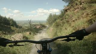
The singletrack found on this Loop is technical in places with numerous very tight turns, steep descents and features such as small rock steps, exposed roots and elevated timber boardwalks. Trail surfaces vary a lot including loose gravel, rocks, mud and water and can be very uneven and xtremely narrow with encroaching vegetation, boulders and trees. From waypoint 3 (reached by following the
Green then Brown waymarkers) you pick up White waymarkers passing Waypoints 4, 5 and 6 along the way. These waypoints provide opportunities to either cut short the loop or to extend but the white waymarkers eventually bring you all the way back to Waypoint 3, from where you follow the Brown then the Green waymarkers all the way back to the car park. This loop features numerous long climbs and
takes in areas of high ground that can be exposed to bad weather
We hope you've been enjoying Trailforks!
Create a FREE account to view route comments and much more.

| 2 miles |


Service Road Atlas is a free to use, community-driven service for viewing and creating reports on the numerous back-country service roads around B.C. and Alberta.
Save the current map location and zoom level as your default home location whenever this page is loaded.
Save