

Open in App
Get this route on your phone instantly.
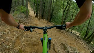
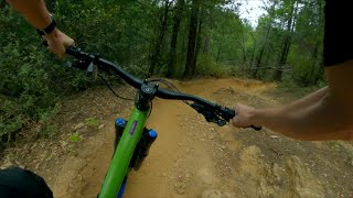
An Expert-level mountain bike route with big, physically-demanding climbs and technically-challenging descents. Much of the trail network is comprised of old-school moto trails. Most singletrack is open to moto use, and as such can be blown out, rutted, and rocky. Start with the Silver Singletrack/Mace Mill loop counter-clockwise then climb to top of Bald Mountain for a big, rowdy descent back to the car.
Watch out for horses, hikers, and dirt bikes. Pack plenty of food, water, and everything you need for repairs. This is a very remote area with almost zero cell service and no amenities at the parking lot. Perfect ride for when Tahoe is under snow. Trails are incredibly hot and dusty in the summer.
We hope you've been enjoying Trailforks!
Create a FREE account to view route comments and much more.
| 26 ft | |||||
| 472 ft | |||||
| 184 ft | |||||
| 2 miles | |||||
| 2 miles | |||||
| 1 mile | |||||
| 26 ft | |||||
| 46 ft | |||||
| 20 ft | |||||
| 456 ft | |||||
| 1 mile | |||||
| 89 ft | |||||
| 161 ft | |||||
| 1 mile | |||||
| 2,192 ft | |||||
| 1 mile | |||||
| 1 mile | |||||
| 2,543 ft | |||||
| 4,698 ft | |||||
| 456 ft | |||||
| 20 ft | |||||
| 1 mile | |||||
| 194 ft | |||||
| 2,749 ft |


Service Road Atlas is a free to use, community-driven service for viewing and creating reports on the numerous back-country service roads around B.C. and Alberta.
Save the current map location and zoom level as your default home location whenever this page is loaded.
Save