

2.3 miles
Distance
346 ft
Climb
-313 ft
Descent
4,745 ft
High Point
33 ft
Altitude change
4,496 ft
Altitude min
4,524 ft
Altitude start
4,557 ft
Altitude end
0.3%
Grade
-30.8%
Grade max
44.1%
Grade min
1 mile
Distance climb
1 mile
Distance down
1,083 ft
Distance flat

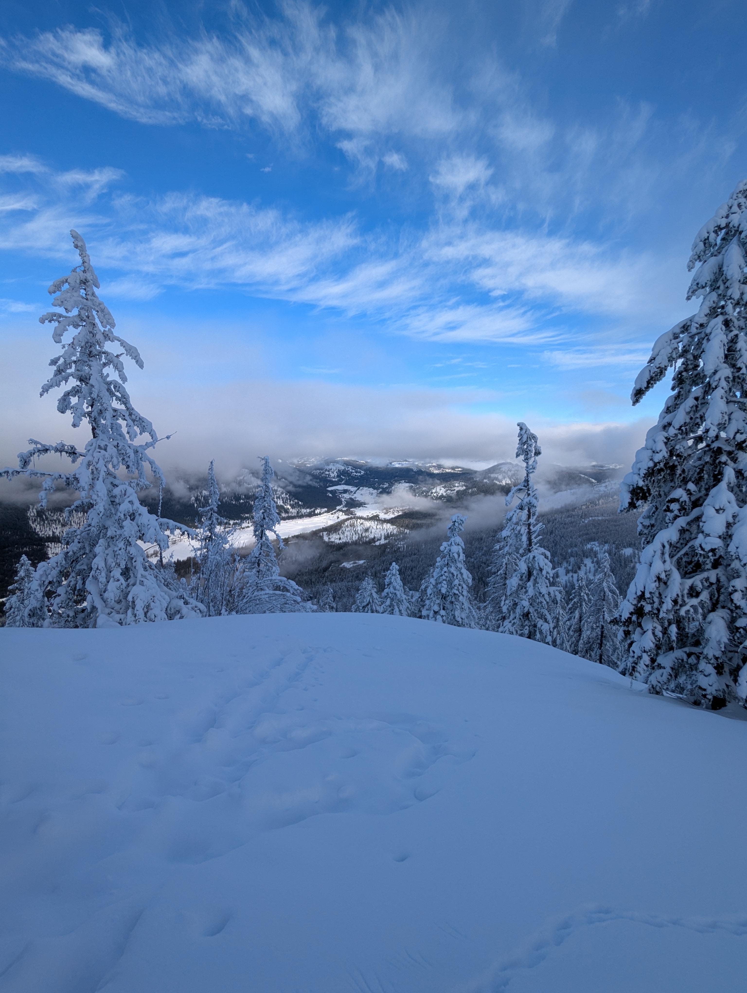
Jolly Jack Loop allows you to explore a wider area and takes you up to the Dacha shelter. For newer skiers recommend travelling up the east side and if the Elevator looks too steep, you can pop over to Grandview and reconnect before heading up to the Dacha. The west side also has the easiest way back down.

Detailed Description
Jolly Jack is a 2 mile less popular easy route located near Grand Forks British Columbia. This nordic ski primary route and has a moderate overall physical rating. This route climbs 346 ft with a max elevation of 4,745 ft then descends -313 ft.

Local Trail Association

Local trail association
Phoenix Nordic (phoenixnordic.com)
Please consider joining or donating to the local riding association to support trail development & maintenance.
Donate to earn trail karma!

Stats

  • Distance
    2 miles
  • Altitude min
    4,496 ft
  • Altitude start
    4,524 ft
  • Altitude end
    4,557 ft
  • Climb
    346 ft
  • Descent
    -313 ft
  • Grade
    0.3%
  • Grade max
    -30.8%
  • Grade min
    44.1%
  • Distance climb
    1 mile
  • Distance down
    1 mile
  • Distance flat
    1,083 ft

Comments


We hope you've been enjoying Trailforks!

Create a FREE account to view all route reviews and much more.
Details

  • Riding area
  • Primary Activity
    Nordic Ski
  • Other Activities
    • Snowshoe
    • Backcountry Ski
  • Difficulty rating
    Green
  • Route Type
    Loop
  • eBike Allowed
  • Physical rating
    Moderate
no votes yet
close
Trail transparency
  • Singletrack
  • Paved
  • By AnnikaL KRCA & contributors
  • #67660 - 111 views

Hit the Trail

Open in App

Get this route on your phone instantly.

Download Route

Save to wishlist, Garmin & download.

