
Open in App
Get this route on your phone instantly.
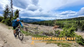
Loop of Link Lake can be done in either direction. Highest elevation on south side of route. Mix of rail trail, double track ATV and gravel road.
We hope you've been enjoying Trailforks!
Create a FREE account to view route comments and much more.
| 387 ft | |||||
| 276 ft | |||||
| 971 ft | |||||
| 699 ft |

Service Road Atlas is a free to use, community-driven service for viewing and creating reports on the numerous back-country service roads around B.C. and Alberta.
Save the current map location and zoom level as your default home location whenever this page is loaded.
Save