

8.4 miles
Distance
2,137 ft
Climb
-2,186 ft
Descent
2,902 ft
High Point
-49 ft
Altitude change
896 ft
Altitude min
1,053 ft
Altitude start
1,004 ft
Altitude end
-0.1%
Grade
-60.4%
Grade max
32.3%
Grade min
4 miles
Distance climb
3 miles
Distance down
3,212 ft
Distance flat

A 2hr loop including Mach Chicken and Built to Spill by climbing B&K Logging Road.

Detailed Description
Mach Chicken Loop is a 8 mile popular expert route located near Southern Sunshine Coast British Columbia. This mountain bike only route. This route includes 7 trails. This route climbs 2,137 ft with a max elevation of 2,902 ft then descends -2,186 ft.
Tags

Trail Issues on Route

  • Minor Issue / Yellow: 2 trails (newest: Jul 30, 2026)

Local Trail Association

Local trail association
Coast Mountain Bike Trail Association (www.cmbta.ca)
Please consider joining or donating to the local riding association to support trail development & maintenance.
Donate to earn trail karma!

Stats

  • Distance
    8 miles
  • Avg time
    1 hr 46 min
  • Altitude change
    -49 ft
  • Altitude min
    896 ft
  • Altitude start
    1,053 ft
  • Altitude end
    1,004 ft
  • Climb
    2,137 ft
  • Descent
    -2,186 ft
  • Grade
    -0.1%
  • Grade max
    -60.4%
  • Grade min
    32.3%
  • Distance climb
    4 miles
  • Distance down
    3 miles
  • Distance flat
    3,212 ft

19 Reviews & Comments


We hope you've been enjoying Trailforks!

Create a FREE account to view all route reviews and much more.

Details

Avg: 1.5 (4 votes)
close
Trail transparency
  • Singletrack
  • Unpaved
mtb
669
mtb
796
mtb
546
mtb
807
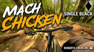
youtuber Mach Chicken | Single Black | Roberts Creek, BC
mtb
Mach Chicken | Single Black | Roberts Creek, BC
3:23 | 258 | comments: 0 | favs:
May 19, 2026
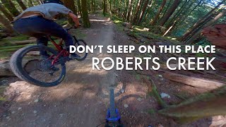
Don't sleep on this place, especially the...
mtb

Recent Trail Reports Along Route

statustraildateconditiondescription
Mach Chicken
Oct 12, 2026 @ 4:45pm (America/Vancouver)
Oct 12, 2026
B&K Logging Rd North
Sep 9, 2026 @ 6:51pm (America/Vancouver)
Sep 9, 2026
Jackson Brothers Road
Sep 9, 2026 @ 8:37am (America/Vancouver)
Sep 9, 2026
Rock mining is complete and equipment has been removed. reporter
iTrail
Jul 30, 2026 @ 3:52pm (America/Vancouver)
Jul 30, 2026
dLog
Jul 30, 2026 @ 3:52pm (America/Vancouver)
Jul 30, 2026
more reports »
  • By whyirideTF Pro CMBTA & contributors
  • #9575 - 3,641 views

Hit the Trail

Open in App

Get this route on your phone instantly.

Download Route

Save to wishlist, Garmin & download.