

Open in App
Get this route on your phone instantly.
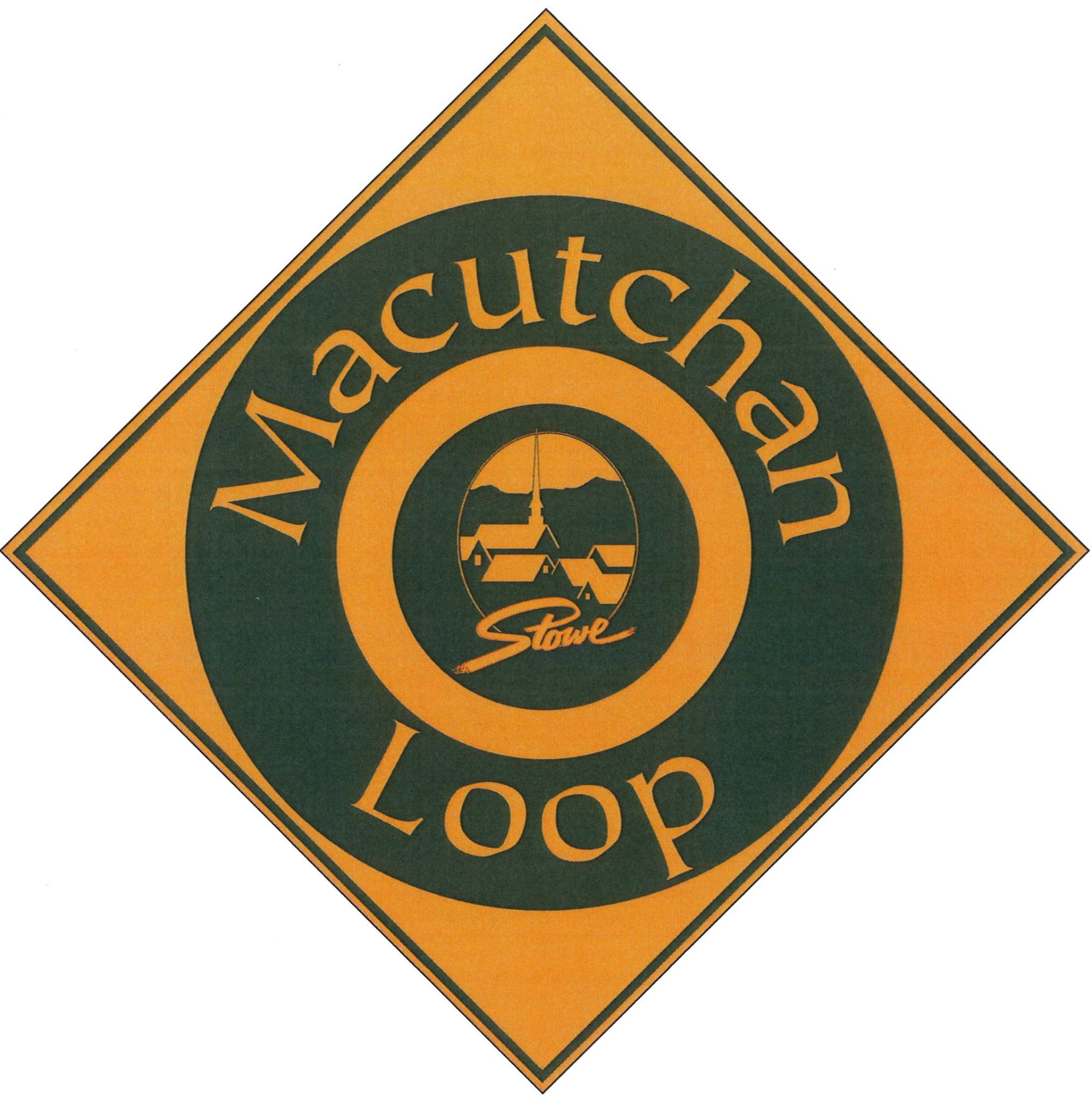
Macutchan Loop: Designed as a 3-mile beginner/intermediate mountain bike and Nordic ski loop that's equally awesome for running and walking. Just follow these signs from the parking lot.
It was named after the Macutchan family, who in 1925, donated 60 acres to the Town of Stowe which became known as Macutchan Forest and was home to Stowe's first officially sanctioned MTB trails previously known as the Town Loops.
Macutchan Forest was combined with land purchased in 2012 to form what we now know as the 320-acre Cady Hill Forest.
We hope you've been enjoying Trailforks!
Create a FREE account to view all route reviews and much more.

Service Road Atlas is a free to use, community-driven service for viewing and creating reports on the numerous back-country service roads around B.C. and Alberta.
Save the current map location and zoom level as your default home location whenever this page is loaded.
Save STP & contributors