
8.9 miles
Distance
790 ft
Climb
-791 ft
Descent
648 ft
High Point
-1 ft
Altitude change
380 ft
Altitude min
559 ft
Altitude start
558 ft
Altitude end
-25.4%
Grade max
29.1%
Grade min
4 miles
Distance climb
3 miles
Distance down
2 miles
Distance flat

Fun technical route in Gatineau Park

Detailed Description
Missing Link & Plus is a 9 mile popular intermediate route located near Chelsea Quebec. This mountain bike only route. This route includes 7 trails. This route climbs 790 ft with a max elevation of 648 ft then descends -791 ft.
Tags

Stats

  • Distance
    9 miles
  • Avg time
    1 hr 30 min
  • Altitude change
    -1 ft
  • Altitude min
    380 ft
  • Altitude start
    559 ft
  • Altitude end
    558 ft
  • Climb
    790 ft
  • Descent
    -791 ft
  • Grade max
    -25.4%
  • Grade min
    29.1%
  • Distance climb
    4 miles
  • Distance down
    3 miles
  • Distance flat
    2 miles

9 Reviews & Comments


We hope you've been enjoying Trailforks!

Create a FREE account to view all route reviews and much more.

Details

no votes yet
close
Trail transparency
  • Singletrack
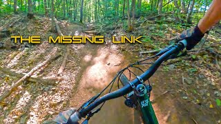
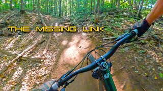
MISSING LINK LOOP//2023//Hull QC.//Just as...
mtb
MISSING LINK LOOP//2023//Hull QC.//Just as good as I remember...
22:14 | 283 | comments: 0 | favs:
Jun 10, 2023
MISSING LINK LOOP//2023//Hull QC.//Just as...
mtb

Recent Trail Reports Along Route

statustraildateconditiondescription
Trail #77 (Path)
Oct 18, 2026 @ 11:39am (America/Toronto)
Oct 18, 2026
Trail #66 (Milk Run)
Oct 18, 2026 @ 11:39am (America/Toronto)
Oct 18, 2026
Trail #68 (The Missing Link)
Oct 18, 2026 @ 11:39am (America/Toronto)
Oct 18, 2026
Trail #76 (Jessie's Girl)
Oct 18, 2026 @ 11:39am (America/Toronto)
Oct 18, 2026
Trail #76 (Skyridge)
Oct 18, 2026 @ 11:39am (America/Toronto)
Oct 18, 2026
more reports »
  • By oxygenefreakTF Pro & contributors
  • #51278 - 1,386 views

Hit the Trail

Open in App

Get this route on your phone instantly.

Download Route

Save to wishlist, Garmin & download.