18.9 miles
Distance
3,301 ft
Climb
-3,349 ft
Descent
2 miles
High Point
-49 ft
Altitude change
6,349 ft
Altitude min
6,436 ft
Altitude start
6,388 ft
Altitude end
-76.7%
Grade max
33.7%
Grade min
9 miles
Distance climb
9 miles
Distance down
1 mile
Distance flat

Great Loop in South Lake Tahoe.

Detailed Description
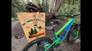
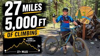
Mr. Toads Loop is a 19 mile popular expert route located near South Lake Tahoe California. This mountain bike only route can be used one direction and has a hard overall physical rating. This route includes 8 trails. This route climbs 3,301 ft with a max elevation of 9,448 ft then descends -3,349 ft.
Tags
JumpsLakeRock slabs

Trail Issues on Route

  • Minor Issue / Yellow: 1 trail (newest: Aug 13, 2026)

Local Trail Association

Local trail association
Tahoe Area Mountain Biking Association (www.tamba.org)
Please consider joining or donating to the local riding association to support trail development & maintenance.
Donate to earn trail karma!

Stats

  • Distance
    19 miles
  • Avg time
    50 min 30 sec
  • Altitude min
    6,349 ft
  • Altitude start
    6,436 ft
  • Altitude end
    6,388 ft
  • Climb
    3,301 ft
  • Descent
    -3,349 ft
  • Grade max
    -76.7%
  • Grade min
    33.7%
  • Distance climb
    9 miles
  • Distance down
    9 miles
  • Distance flat
    1 mile

53 Reviews & Comments

Bergermeister19
This route is definitely more like 4100 ft of elevation instead of the reported 3300.
GlazedHam GlazedHam
Too much snow for most folks I would wager. I experienced over 90 minutes of intermittent hike-a-bike starting just before Armstrongs pass and leading down to and beyond the start of Mr Toad's.

I figured about 3 hour including riding 30 minutes back to SLT. The initial big climb was great and did that well ahead of schedule.

Things went bad just before the crest of the pass and stayed bad all the way down to 7800 ft. That 3 mile stretch took another 90m.

After that it was perfect. Just be aware that as of July 11, 2023 its not just a bike ride like you have back home.
zacmoto zacmoto
This is a stupid loop. Climbing Connector trail is dumb af. Climb the road instead.

We hope you've been enjoying Trailforks!

Create a FREE account to view all route reviews and much more.

Details

  • Riding area
  • Primary Activity
    Mountain Bike
  • Difficulty rating
    Black Diamond
  • Route Type
    Loop
  • Bike type
    AM
  • Direction
    One Direction
  • Physical rating
    Hard
  • Activity Logs
    1
Avg: 3.95 (17 votes)
close
Trail transparency
  • Singletrack
  • Unpaved
  • Paved

Recent Trail Reports Along Route

statustraildateconditiondescription
Fountain Place Road
Oct 11, 2026 @ 12:07pm (America/Los_Angeles)
Oct 11, 2026
Armstrong Pass Trail
Oct 11, 2026 @ 12:07pm (America/Los_Angeles)
Oct 11, 2026
Armstrong Connector Trail
Oct 4, 2026 @ 7:57am (America/Los_Angeles)
Oct 4, 2026
Saxon Creek Trail (Mr. Toad's Wild Ride)
Aug 13, 2026 @ 10:24am (America/Los_Angeles)
Aug 13, 2026
About half the turns are blown out with deep sand/dirt.
more reports »
  • By joepridmore & contributors
  • #2333 - 18,162 views

Hit the Trail

Open in App

Get this route on your phone instantly.

Download Route

Save to wishlist, Garmin & download.