
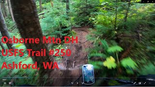
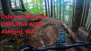
This route takes your thru the scenic singletrack below the Sawtooth ridge. You'll get a chance to swim in Granite and Bertha May lakes and taste plenty of blueberries. Lots of steep climbing but the final descent down Osbourne mt is worth it. It's fast and flowy.
Note that the road portion can alternatively be done in CCW direction by leaving the campground and turning left, then using FS 85 and 84 to get to the same starting point as the map shows. The CCW route is more shaded and lower traffic while climbing to just a bit higher point.

Local Trail Association
Evergreen - Cowlitz-Naches Chapter (www.evergreenmtb.org)Trail Products
Stats
-
Distance22 miles
-
Avg time3 hr 50 min
-
Altitude min1,810 ft
-
Altitude start1,821 ft
-
Altitude end1,818 ft
-
Climb4,743 ft
-
Descent-4,746 ft
-
Grade max-101.6%
-
Grade min58.2%
-
Distance climb13 miles
-
Distance down7 miles
-
Distance flat2 miles
3 Reviews & Comments
We hope you've been enjoying Trailforks!
Create a FREE account to view all route reviews and much more.
Trails in Route
| 9 miles | |||||
| 5 miles |
Details
-
Riding area
-
Primary ActivityMountain Bike
-
Difficulty ratingBlack Diamond
-
Route TypeLoop
-
eBike Allowed
-
Bike typeAM, XC
-
DirectionOne Direction
-
Physical ratingHard
-
Activity Logs
- Unknown
- Snow Groomed
- Snow Packed
- Snow Covered
- Snow Cover Partial
- Freeze/thaw Cycle
- Icy
- Prevalent Mud
- Wet
- Variable
- Ideal
- Dry
- Very Dry
The colour categories are based on what percentage of users are riding a trail in its intended direction.
- > 96%
- > 90%
- > 80%
- > 70%
- > 50%
- < 50%
- bi-directional trail
- no data
- < 2 days
- < 1 week
- < 2 weeks
- < 1 month
- < 6 months
- > 6 months
- Downhill Only
- Downhill Primary
- Both Directions
- Uphill Primary
- Uphill Only
- One Direction
- Description
- Photos
- Description & Photos
- Videos
- most popular
- popular
- less popular
- not popular
Service Road Atlas is a free to use, community-driven service for viewing and creating reports on the numerous back-country service roads around B.C. and Alberta.
Save the current map location and zoom level as your default home location whenever this page is loaded.
Save- Singletrack
- Unpaved
Photos
Videos
Recent Trail Reports Along Route
- By i-g-o-r
& contributors - #9422 - 2,932 views
