

Open in App
Get this route on your phone instantly.
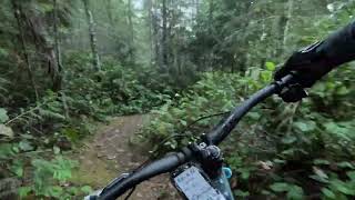
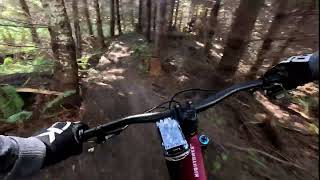
A good, relatively easy X-C route. Little less than 10 km. Would take 1.5 hours with some stops. Many good views of the area, lots of down starting from the parking area and the return to the vehicles is gradual.
This route is Unsanctioned, Ride at your own Risk!
We hope you've been enjoying Trailforks!
Create a FREE account to view all route reviews and much more.
| 285 ft | |||||
| 318 ft | |||||
| 1,535 ft | |||||
| 3,802 ft | |||||
| 515 ft | |||||
| 1,509 ft | |||||
| 3,386 ft | |||||
| 1,053 ft | |||||
| 167 ft | |||||
| 1,512 ft | |||||
| 751 ft |

Service Road Atlas is a free to use, community-driven service for viewing and creating reports on the numerous back-country service roads around B.C. and Alberta.
Save the current map location and zoom level as your default home location whenever this page is loaded.
Save NTB & contributors