

Open in App
Get this route on your phone instantly.
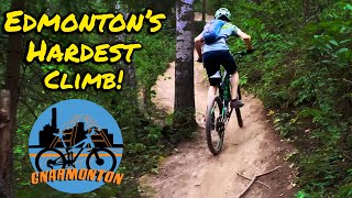
All kinds of fun, lots of elevation, not too difficult.
Starts in Windermere and finishes in Terwillegar. It can be ridden as a point to point or an out and back.

We hope you've been enjoying Trailforks!
Create a FREE account to view all route reviews and much more.
| 1,273 ft | |||||
| 371 ft | |||||
| 125 ft | |||||
| 846 ft | |||||
| 2,723 ft | |||||
| 620 ft | |||||
| 495 ft | |||||
| 85 ft | |||||
| 194 ft | |||||
| 1,175 ft | |||||
| 1,657 ft | |||||
| 351 ft | |||||
| 535 ft | |||||
| 4,301 ft | |||||
| 1,145 ft | |||||
| 4,888 ft | |||||
| 1,476 ft | |||||
| 1,348 ft | |||||
| 535 ft | |||||
| 1,001 ft | |||||
| 233 ft | |||||
| 157 ft | |||||
| 69 ft | |||||
| 456 ft | |||||
| 833 ft | |||||
| 456 ft | |||||
| 305 ft | |||||
| 499 ft |

Service Road Atlas is a free to use, community-driven service for viewing and creating reports on the numerous back-country service roads around B.C. and Alberta.
Save the current map location and zoom level as your default home location whenever this page is loaded.
Save & contributors