

Open in App
Get this route on your phone instantly.
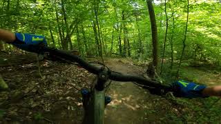
This is a good XC loop from the lower arrowhead parking lot. Can also pedal all the way to the top trailhead instead of going straight onto Feathered Indian. Make sure to follow the signed climbing route up as this map and route isn't 100% up to date.

We hope you've been enjoying Trailforks!
Create a FREE account to view all route reviews and much more.
| 863 ft | |||||
| 2 miles | |||||
| 2 miles | |||||
| 2,736 ft | |||||
| 1,375 ft | |||||
| 2,618 ft | |||||
| 981 ft |

Service Road Atlas is a free to use, community-driven service for viewing and creating reports on the numerous back-country service roads around B.C. and Alberta.
Save the current map location and zoom level as your default home location whenever this page is loaded.
Save