

Open in App
Get this route on your phone instantly.
Ride at your own risk!
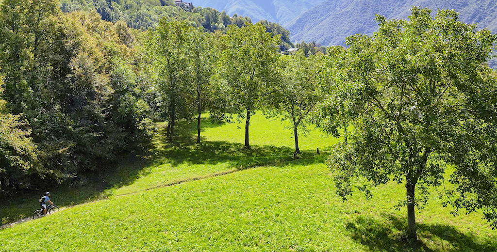
Anello xc sui sentieri di media montagna di Taceno, tra l'alta Valsassina e le pendici del Monte di Muggio.
Salita con qualche strappo ma ambiente carino e molto scenico. Discesa facile su mulattiera a gradini nella prima parte poi su veloce mulattiera e strada carrabile.
We hope you've been enjoying Trailforks!
Create a FREE account to view all route reviews and much more.
| 3,570 ft | |||||
| 1 mile | |||||

Service Road Atlas is a free to use, community-driven service for viewing and creating reports on the numerous back-country service roads around B.C. and Alberta.
Save the current map location and zoom level as your default home location whenever this page is loaded.
Save NORTHNLINE & contributors