

Open in App
Get this route on your phone instantly.
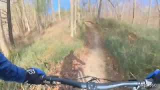
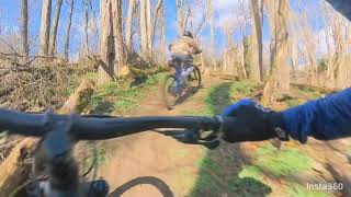
Buckle up for the Nor’Easter A continuous loop off all the trails in the North East quadrant of Turkey Point. These are the most physically and technically difficult trails in Turkey Point although they should be easily completed by intermediate riders.

We hope you've been enjoying Trailforks!
Create a FREE account to view all route reviews and much more.
| 4,879 ft | |||||
| 3,638 ft | |||||
| 2,234 ft | |||||
| 3,123 ft | |||||
| 2,533 ft | |||||
| 1 mile | |||||
| 5,262 ft | |||||
| 3,606 ft | |||||
| 1 mile | |||||
| 3,688 ft | |||||
| 1,982 ft | |||||
| 2,720 ft | |||||
| 2,644 ft | |||||
| 2 miles | |||||
| 3,570 ft | |||||
| 2,165 ft |

Service Road Atlas is a free to use, community-driven service for viewing and creating reports on the numerous back-country service roads around B.C. and Alberta.
Save the current map location and zoom level as your default home location whenever this page is loaded.
Save