



Open in App
Get this route on your phone instantly.
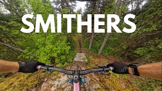
Ride two of the steepest and techiest trails on the Bluff in one go. Ride Nervous Shakedown via All Screwed Up, Meanstreak, A Trail With No Name. After surviving your Shakedown, exit via a bumpy Back in Black. Hook into a Longway climb, all the way to the top of the Bluff. Hang a left onto Broken Axe, and traverse over to Skitzo. Hang onto the handlebars, she can be steep at times Ride back to the parking lot using an old road along the bottom of the Bluff. Yeehaw.

We hope you've been enjoying Trailforks!
Create a FREE account to view all route reviews and much more.
| 2,267 ft | |||||
| 466 ft | |||||
| 2,329 ft | |||||
| 1 mile | |||||
| 3 miles | |||||
| 3,553 ft | |||||
| 3,235 ft | |||||
| 3,271 ft | |||||
| 1,562 ft | |||||
| 174 ft | |||||
| 1,188 ft | |||||
| 3,058 ft | |||||
| 1,752 ft | |||||
| 1,063 ft | |||||
| 554 ft | |||||
| 2,844 ft | |||||
| 4,524 ft | |||||
| 456 ft | |||||
| 925 ft | |||||
| 1,670 ft |


Service Road Atlas is a free to use, community-driven service for viewing and creating reports on the numerous back-country service roads around B.C. and Alberta.
Save the current map location and zoom level as your default home location whenever this page is loaded.
Save