

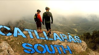
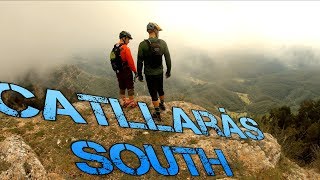
EN: Long uphill on gravel road with nice views and a chance to stop in the nice hut midway for a refill of water or something to eat and drink. Then a long and beautiful ride down, with an extra climb thrown in, for a superb day.
ES: Subida larga por pista que luego da una bajada impresionante con mucho flow y bosque muy bonito.
Local Trail Association
Berga Enduro (bergaenduro.com)Stats
-
Distance16 miles
-
Avg time3 hr 48 min
-
Altitude min2,407 ft
-
Altitude start2,409 ft
-
Altitude end2,411 ft
-
Climb4,780 ft
-
Descent-4,777 ft
-
Grade max-83.7%
-
Grade min94.9%
-
Distance climb8 miles
-
Distance down7 miles
-
Distance flat2,815 ft
9 Reviews & Comments
We hope you've been enjoying Trailforks!
Create a FREE account to view all route reviews and much more.

- Unknown
- Snow Groomed
- Snow Packed
- Snow Covered
- Snow Cover Partial
- Freeze/thaw Cycle
- Icy
- Prevalent Mud
- Wet
- Variable
- Ideal
- Dry
- Very Dry
The colour categories are based on what percentage of users are riding a trail in its intended direction.
- > 96%
- > 90%
- > 80%
- > 70%
- > 50%
- < 50%
- bi-directional trail
- no data
- < 2 days
- < 1 week
- < 2 weeks
- < 1 month
- < 6 months
- > 6 months
- Downhill Only
- Downhill Primary
- Both Directions
- Uphill Primary
- Uphill Only
- One Direction
- Description
- Photos
- Description & Photos
- Videos
- most popular
- popular
- less popular
- not popular
Service Road Atlas is a free to use, community-driven service for viewing and creating reports on the numerous back-country service roads around B.C. and Alberta.
Save the current map location and zoom level as your default home location whenever this page is loaded.
Save- Singletrack
- Unpaved
Photos
Videos
Recent Trail Reports Along Route
- By parlindholm
TFSPAIN & contributors - #16287 - 2,531 views


