
Open in App
Get this trail on your phone instantly.

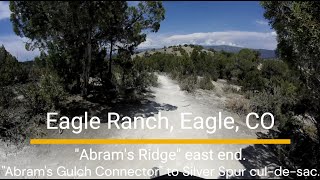
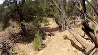
Abrams Ridge is a multi directional trail that travels along... you guessed it, Abrams Ridge. If you're climbing, it's a bit of a lung buster with a handful of very steep sections that might be short hike-a-bikes for some riders. If you're descending, it's a long, fun ride down. Those same steep sections on the way up become roller coaster dips on the way down. Whichever way you're going, be mindful that there's a good chance you'll encounter someone coming the other way. The newly added (2024) singletrack climb coming out of Abrams Gulch is a great way to make a loop with Abrams Ridge.
A new section of singletrack completed in 2024 eliminates a steep section of double track road towards the top end of this trail, and makes it fully singletrack from top to bottom.
*Closed to bikes Dec 1 - Apr 15 each year to protect deer/elk populations
| c1 | c2 | c3 | c4 |
|---|---|---|---|
January | February | March | April |
May | June | July | August |
September | October | November | December |

Service Road Atlas is a free to use, community-driven service for viewing and creating reports on the numerous back-country service roads around B.C. and Alberta.
Save the current map location and zoom level as your default home location whenever this page is loaded.
SaveWe hope you've been enjoying Trailforks!
Create a FREE account to view trail comments and much more.
You must enter a description before submitting.

