


Open in App
Get this trail on your phone instantly.

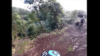
Old trail that had been closed for 27 years, since a comercial plane crashed into Pico Alto back in February the 8th 1989.
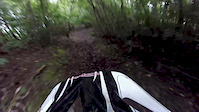
The trail can be quite a challenge when wet, as there is no grip on the hard climbs and steepest descents.
At the Pico Alto trailhead go south(left) to the memorial, then down the dirt road, before you reach the "bridge" where the impact zone was, take the trail to your right. At the first intersection, keep left (straight ahead). The trail exits at the side of the road, so watch your speed and be careful of oncoming traffic.

| c1 | c2 | c3 | c4 |
|---|---|---|---|
January | February | March | April |
May | June | July | August |
September | October | November | December |

Service Road Atlas is a free to use, community-driven service for viewing and creating reports on the numerous back-country service roads around B.C. and Alberta.
Save the current map location and zoom level as your default home location whenever this page is loaded.
Save
No reviews yet, be the first to write a review or ask a question.
Use trail reports to comment on trail conditions.
We hope you've been enjoying Trailforks!
Create a FREE account to view all trail reviews and much more.
You must enter a description before submitting.

