


Open in App
Get this trail on your phone instantly.

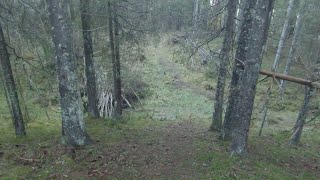
the north side of the trail if quite faded, with can be confusing, some small fallen trees,
steep down to the stream, can be very muddy and wet near the stream.
the rest of the trail is quite easy, but has some roots, some close trees.
the trail gets quite easy towards the end, easy to the trail fork and connects to a old double track.
at thee trail fork you have the choice of going right and down to the stram and up up to get to Hon farm, or go straight to the tractor trail, or to what so far looks liek a dead end trail to the left.



Service Road Atlas is a free to use, community-driven service for viewing and creating reports on the numerous back-country service roads around B.C. and Alberta.
Save the current map location and zoom level as your default home location whenever this page is loaded.
Save
No reviews yet, be the first to write a review or ask a question.
Use trail reports to comment on trail conditions.
We hope you've been enjoying Trailforks!
Create a FREE account to view trail comments and much more.
 TRAILFORKS SSK & contributors
You must enter a description before submitting.

