


 Rock Face
Open in App
Get this trail on your phone instantly.

Norsk
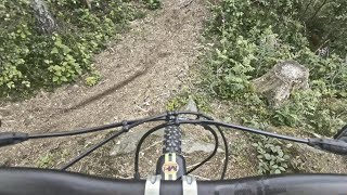
Fra nord er stien ganske enkel, men blir litt bratt på slutten av bakken, du må være i lett gir og allerede forberedt før stigningen starter.
Men fra toppen, nedover, er det valget mellom den vanlige løypa, eller å sykle opp til bergrullen for å gjøre det mer utfordrende og potensielt fortere.
Fra østlige side er stien ganske bratt, et kort og bratt parti, men de fleste skal kunne klare å komme seg opp og ned.
English
From the north the trail is quite easy trail, but gets a bit steep at the end of the climb, you need to be in a easy gear and already prepared before the climb starts.
But from the top, going down, there is the option of the regular trail, or to ride up to the rock roller to make it more challenging and potentially speedier.
From the eastern side, the path is quite steep, a short and steep section, but most people should be able to get up and down.


Service Road Atlas is a free to use, community-driven service for viewing and creating reports on the numerous back-country service roads around B.C. and Alberta.
Save the current map location and zoom level as your default home location whenever this page is loaded.
Save
No reviews yet, be the first to write a review or ask a question.
Use trail reports to comment on trail conditions.
We hope you've been enjoying Trailforks!
Create a FREE account to view all trail reviews and much more.
 TRAILFORKS SSK & contributors
You must enter a description before submitting.

